3.2 Undeloh - Bispingen
19.3km
Distance
-
Walking time
180m
Total climb
187m
Total descent
Photos

Stage description
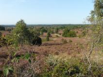
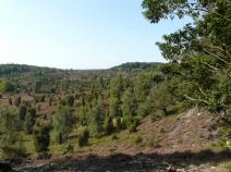
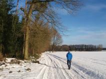
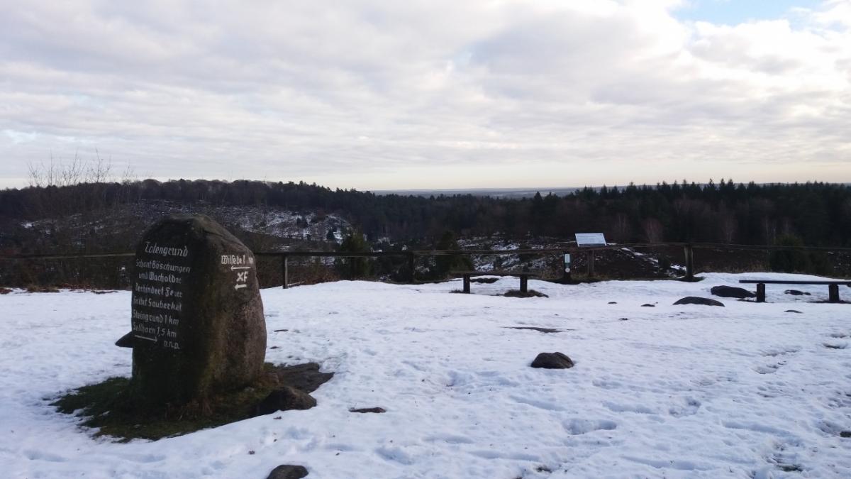
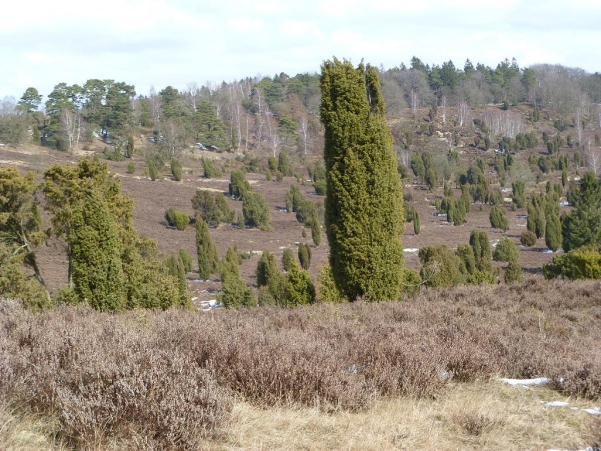
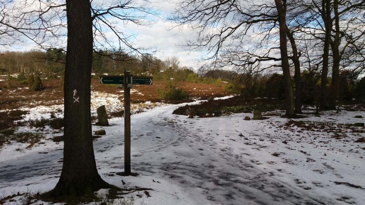
Right at the beginning of this stage is the heart of the Lüneburg Heath (German: Lüneburger Heide). The wide heath areas around the Wilseder Berg were one seedbeds of nature conservation in Germany. In addition to the Wilseder Berg, the highlights of this stage include the car-free museum village of Wilsede and above all the Totengrund, a dry valley which was home to the first nature reserve in the Lüneburg Heath.
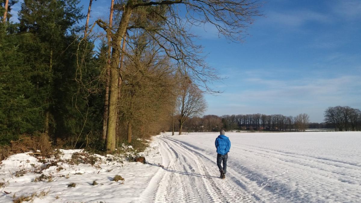
It is perhaps less spectacular after the Totengrund , but still charming as forest and meadow paths lead to Behringen and then to Bispingen.
The following users contributed to this text:
Hiking maps
No maps added yet
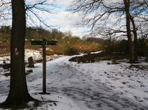
Marking
-
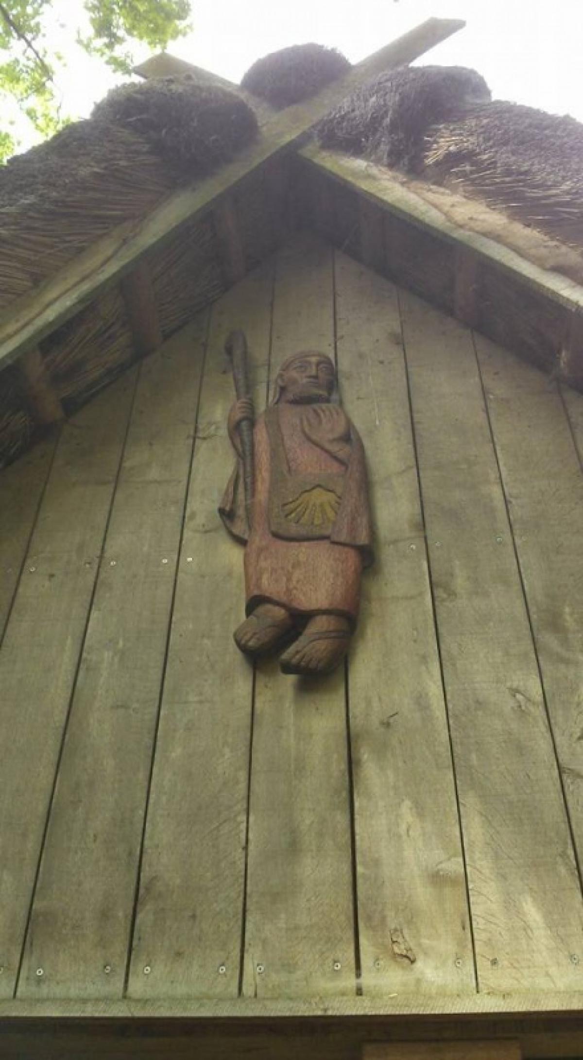
 St. Andrew's cross / E1
Accommodation
| Accommodation | Price group | |||
|---|---|---|---|---|
| 5-15 € | 16-30 € | 31-45 € | >45 € | |
|
Hof Hartig
Undeloh
Price group: 15-30 €
|
|
|||
|
Pension Sander
Behringen / Bispingen
Price group: 30-45 €
|
|
|||
|
Camping Brunautal
Bispingen-Behringen
Price group: 5-15,15-30 €
|
|
|
||
|
Pension Haus Monika
Bispingen
Price group: 30-45 €
|
|
|||
|
DJH Jugendherberge Bispingen
Bispingen
Price group: 15-30 €
|
|
|||
Sights
-
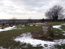
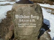
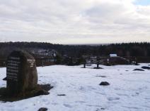
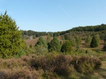
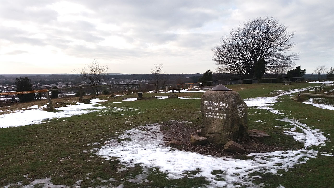
Wilseder Berg / Lüneburg Heath nature reserve
The Wilseder Berg is with 169,2m height the highest elevation of the Lüneburg Heath. The open heath landscape surrounding it is a popular excursion destination, especially during the heather blossom (August/September).
-
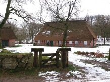
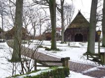
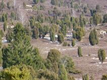
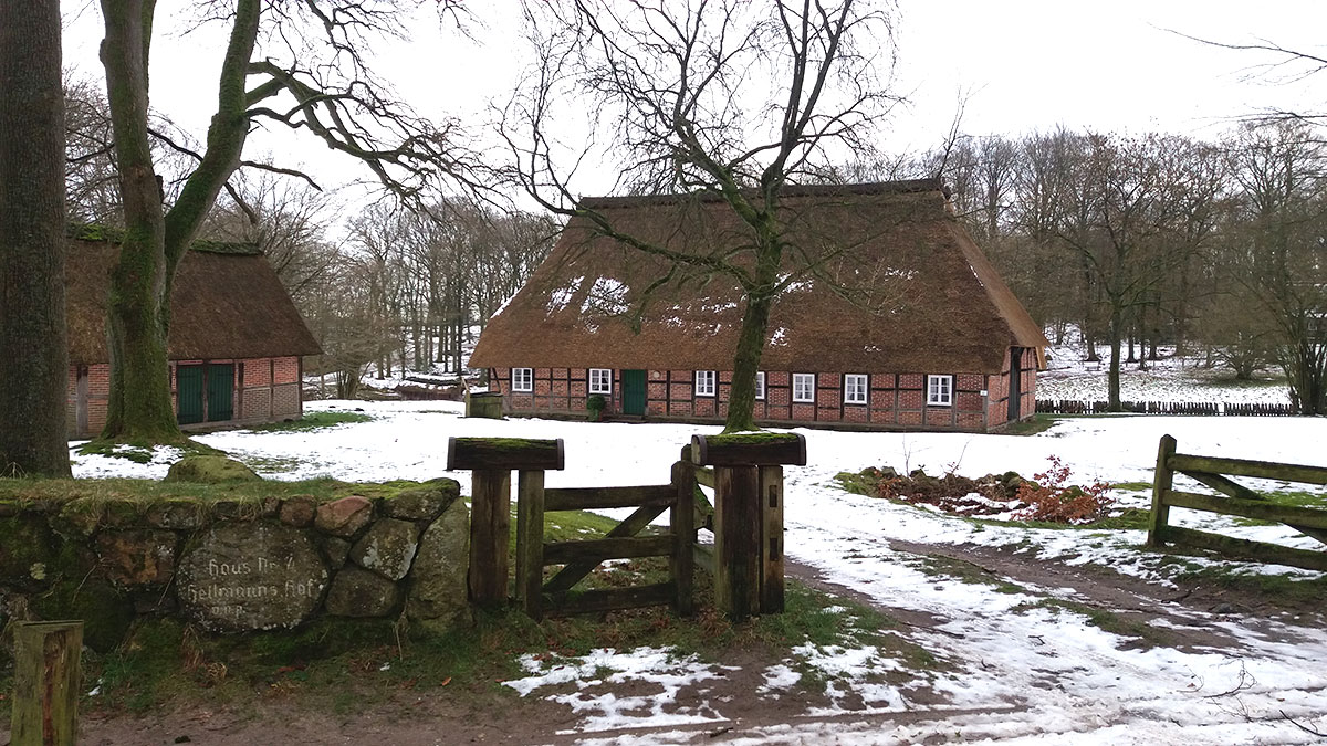
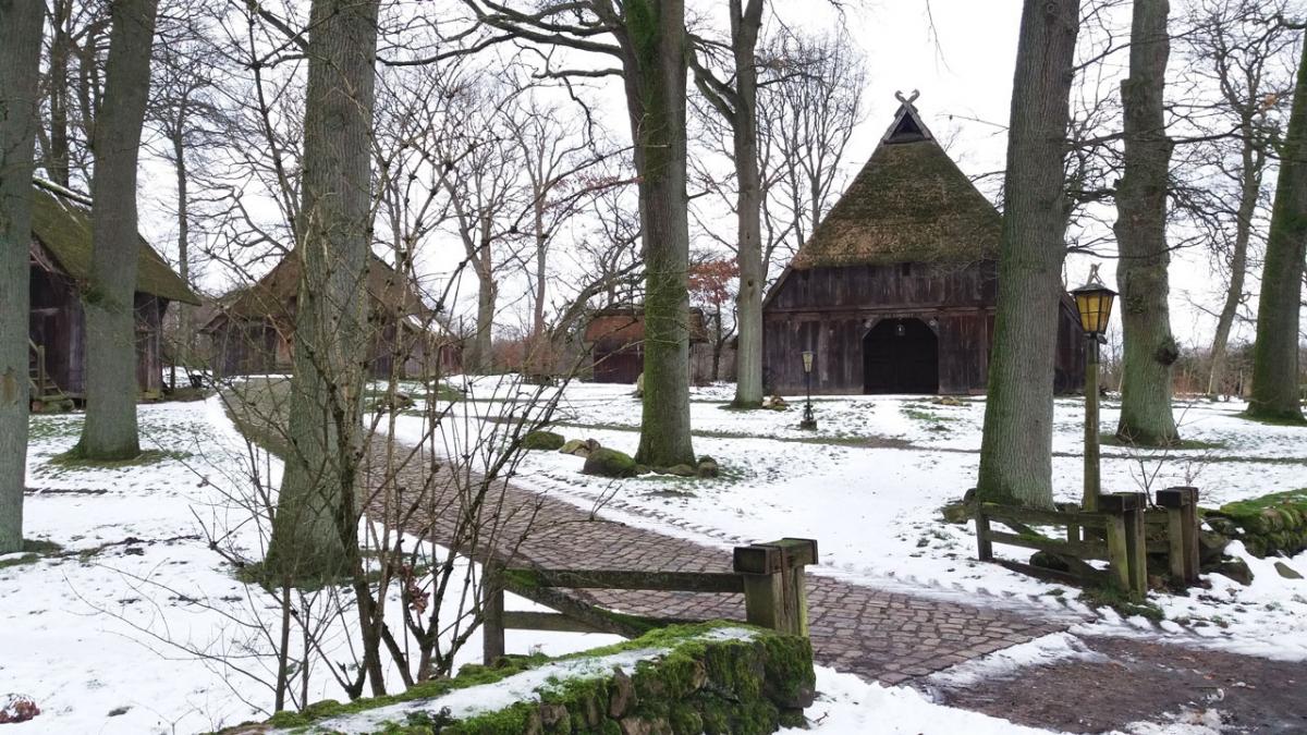
Wilsede
The village of Wilsede, situated in the middle of the Lüneburg Heath nature reserve and closed to general motor traffic, consists mainly of old farmhouses that are well worth seeing. A heath museum and various gastronomic facilities invite you to stay.
-
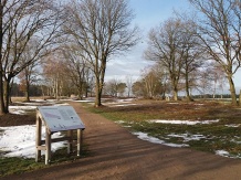
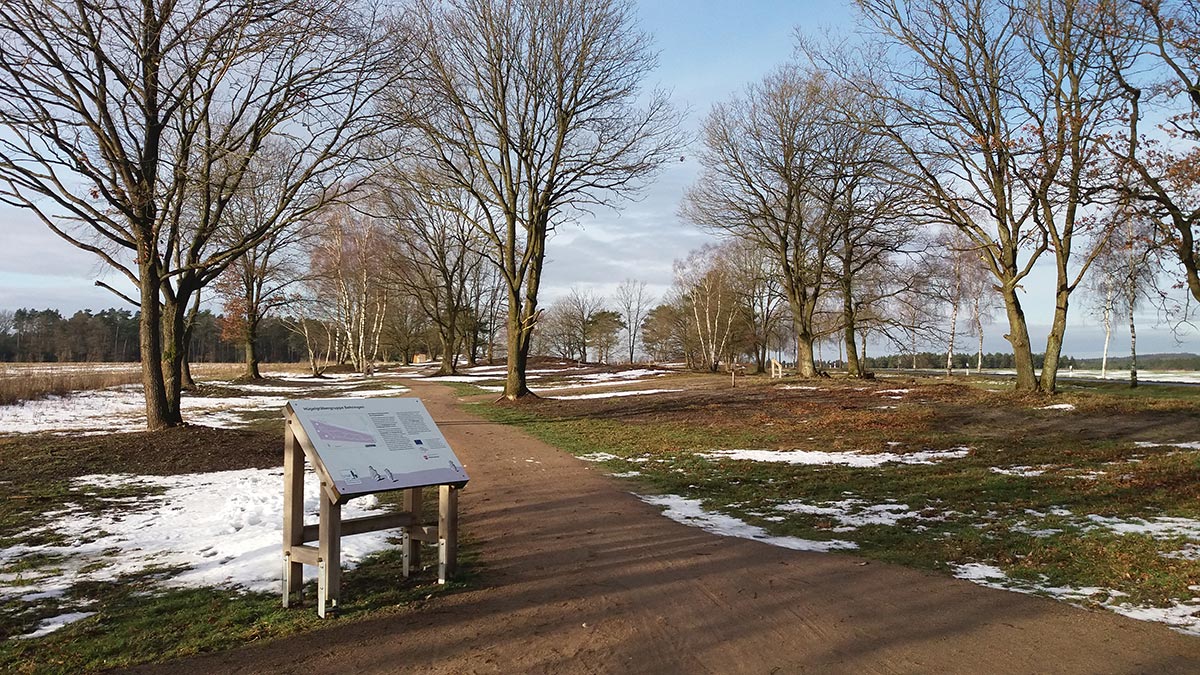
Tumulus group Behringen
A short circular trail with some information boards leads through a complex with 27 burial mounds. In the Lüneburg Heath about 1.000 grave mounds are known.
Literature

GPX-Downloads
You can use the GPX track for navigation and tour planning on your digital device (GPS, smartphone, online tour planner).
| Etappe Stage 3.2 Undeloh - Bispingen | Download (.gpx) |
| All tracks in Germany | Download (.zip) |
The download and many of the services offered on this page are free of charge. However, I would greatly appreciate a small donation as a token of appreciation for my work! This can be done through Paypal or a supporting membership. Thank you very much!