3.3 Bispingen - Soltau
20.3km
Distance
-
Walking time
162m
Total climb
194m
Total descent
Photos
Stage description
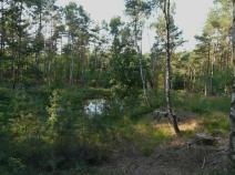
Between Bispingen and Soltau, the E1 follows a regional path – the Hermann Billung Weg, marked with a 'B', a 145km path that runs from Lauenburg to Verden. The stage starts with a very long walk on a forest trail, passing an adventure playground (Luhegrund) along a disused railway line to the spring of the River Luhe which can be reached on a tricky path through the undergrowth. The spring of the River Luhe actually consists of three smaller pools. The water from these pools first trickles underground before forming a beck heading north. Here there is also a stamp and inkpad to record that you were here.
The stage starts with a very long walk on a forest trail, passing an adventure playground (Luhegrund) along a disused railway line to the spring of the River Luhe which can be reached on a tricky path through the undergrowth. The spring of the River Luhe actually consists of three smaller pools. The water from these pools first trickles underground before forming a beck heading north. Here there is also a stamp and inkpad to record that you were here.
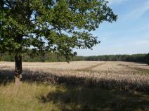
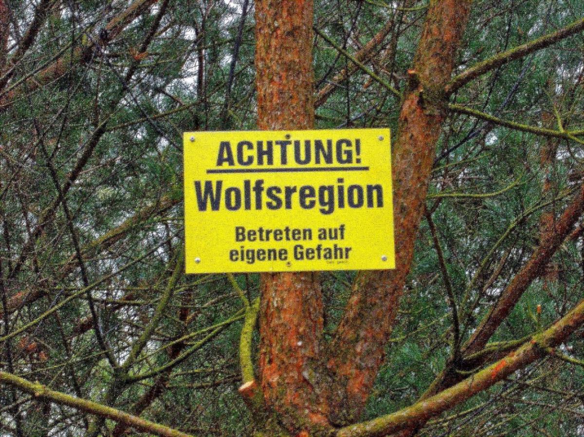
Accompanied by the noise of the autobahn, the forest trail leads to the village of Stübeckshorn passing through some lovely heath land on the way. Between Stübeckshorn and Oeningen there is a longer stretch on an asphalted path until a farm close to Oeningen after which the path turns into an unpaved track. The E1 crosses though the re-naturalised Grosse Aue and reaches a small, pretty wooded area. Coming out of the woods, the path crosses over the Heidebahn rail line. It now leads through the streets of Soltau, first passing the hospital on the right to the Böhmepark. Here the E1 ('X'), the Hermann Billung Weg ('B'), the Freudenthalweg ('F') and the Heidschnuckweg ('H') all converge in an alphabet soup. Passing through the pedestrian zone, the stage comes to an end close the Soltau train station.
Hiking maps
No maps added yet
Marking
-
 St. Andrew's cross / E1
Accommodation
| Accommodation | Price group | |||
|---|---|---|---|---|
| 5-15 € | 16-30 € | 31-45 € | >45 € | |
|
Pension Haus Monika
Bispingen
Price group: 30-45 €
|
|
|||
|
DJH Jugendherberge Bispingen
Bispingen
Price group: 15-30 €
|
|
|||
|
Camping- & Mobilheimpark Moränasee
Soltau
Price group: 5-15 €
|
|
|||
|
Dat Greune Eck
Soltau
Price group: >45 €
|
|
|||
|
Privatpension Familie Kreetz
Soltau
Price group: 15-30 €
|
|
|||
Literature

Sources and copyright
GPX track coordinates: © OpenStreetMap contributors. Published under Open Database License (ODbL)GPX-Downloads
You can use the GPX track for navigation and tour planning on your digital device (GPS, smartphone, online tour planner).
| Etappe Stage 3.3 Bispingen - Soltau | Download (.gpx) |
| All tracks in Germany | Download (.zip) |
The download and many of the services offered on this page are free of charge. However, I would greatly appreciate a small donation as a token of appreciation for my work! This can be done through Paypal or a supporting membership. Thank you very much!