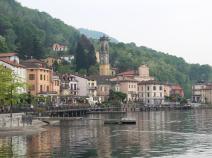
01.01 Porto Ceresio - Brinzio
20.3km
Distance
-
Walking time
1256m
Total climb
1023m
Total descent
Photos
Stage description
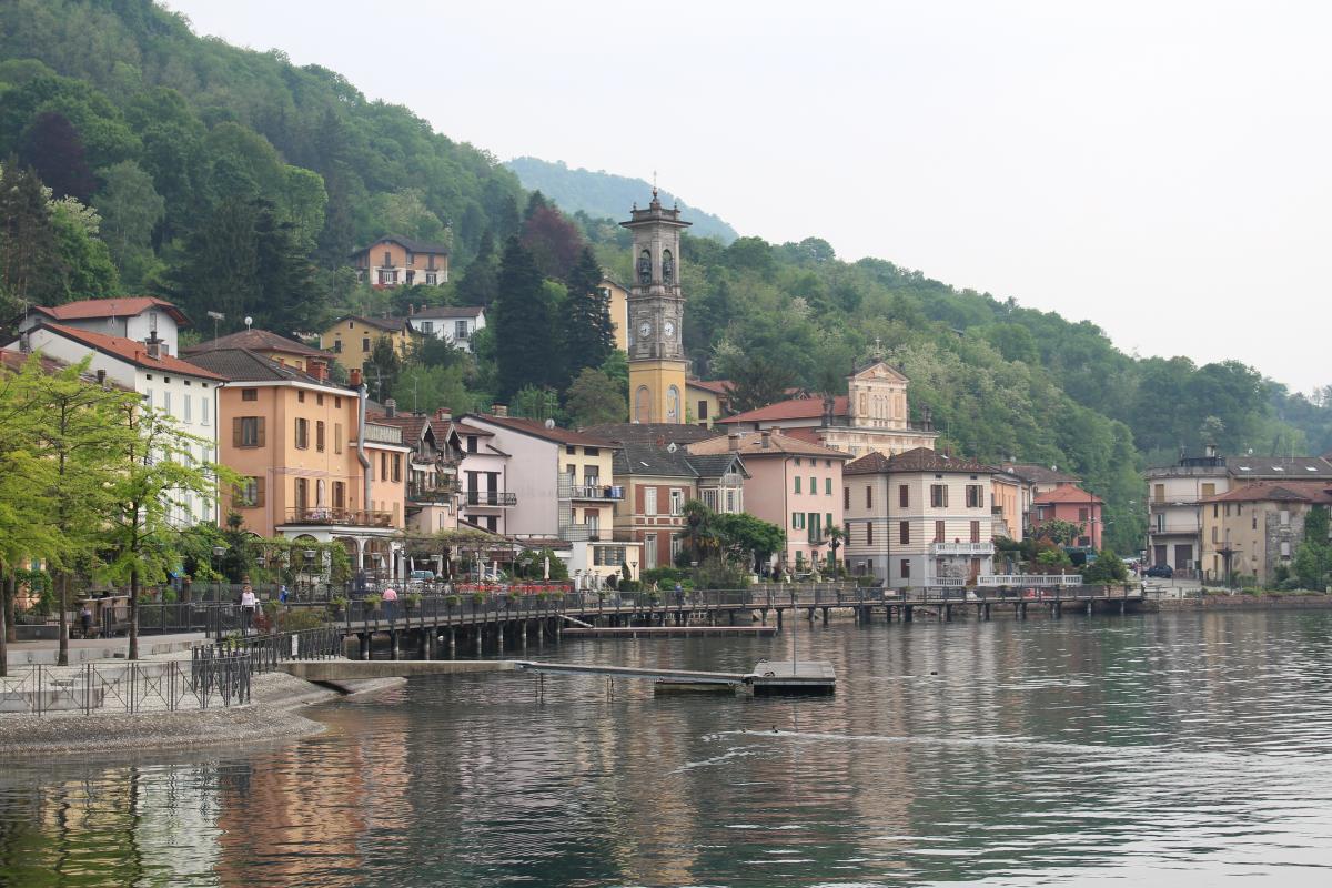
The starting point of the marking in Porto Ceresio is the train station. From here the path is excellently marked at first. At first the path follows the lake until it goes steeply up to Cuasso al monte. Here you first follow a very busy road.
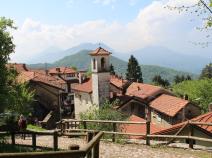
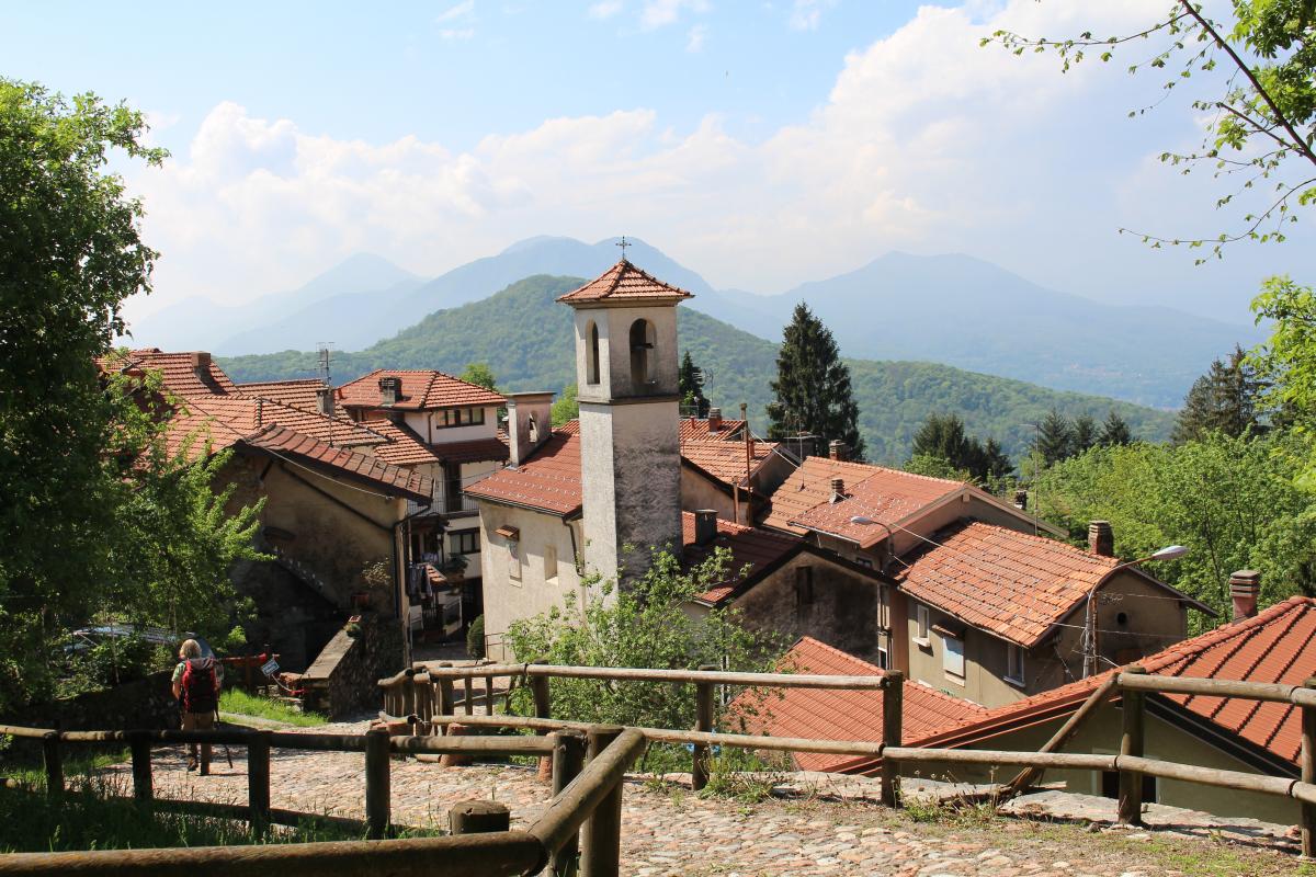
Continue steeply uphill, then more leisurely to Monte Piambello. From there it goes moderately downhill to Boarezzo and further to Ganna. Here begins the Campo dei fiori Nature Park.
At first it goes uphill on a steep and very beautiful path until Brinzio.
The following users contributed to this text:
Hiking maps
No maps added yet
Marking
Accommodation
| Accommodation | Price group | |||
|---|---|---|---|---|
| 5-15 € | 16-30 € | 31-45 € | >45 € | |
|
Rose tra gli archi
Cuasso al Monte
Price group: 30-45 €
|
|
|||
|
Albergo Valganna - 3 Risotti
Valganna
Price group: >45 €
|
|
|||
|
Locanda del Brinsc
Brinzio
Price group: >45 €
|
|
|||
|
Show more accommodation in Porto Ceresio
, Cuasso Al Monte
, Valganna
and Brinzio
(booking.com / Ad)
|
||||
Links
enrosadira.it - Lombardy North
Information about the E1 in northern Lombardy.
Parco Regionale Campo dei Fiori
Sources and copyright
GPX track coordinates: © OpenStreetMap contributors. Published under Open Database License (ODbL)GPX-Downloads
You can use the GPX track for navigation and tour planning on your digital device (GPS, smartphone, online tour planner).
| Etappe Stage 01.01 Porto Ceresio - Brinzio | Download (.gpx) |
| All tracks in Italy | Download (.zip) |
The download and many of the services offered on this page are free of charge. However, I would greatly appreciate a small donation as a token of appreciation for my work! This can be done through Paypal or a supporting membership. Thank you very much!