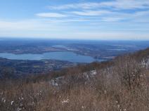
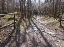
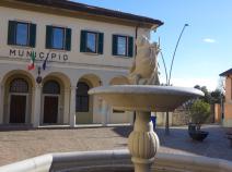
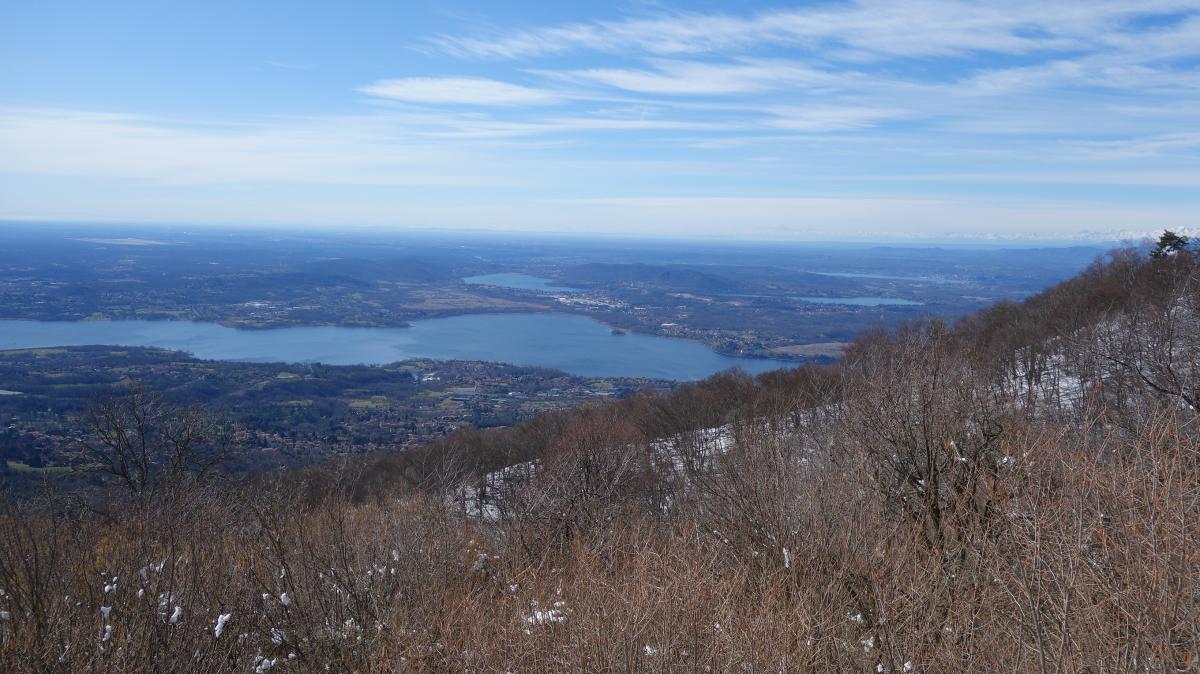
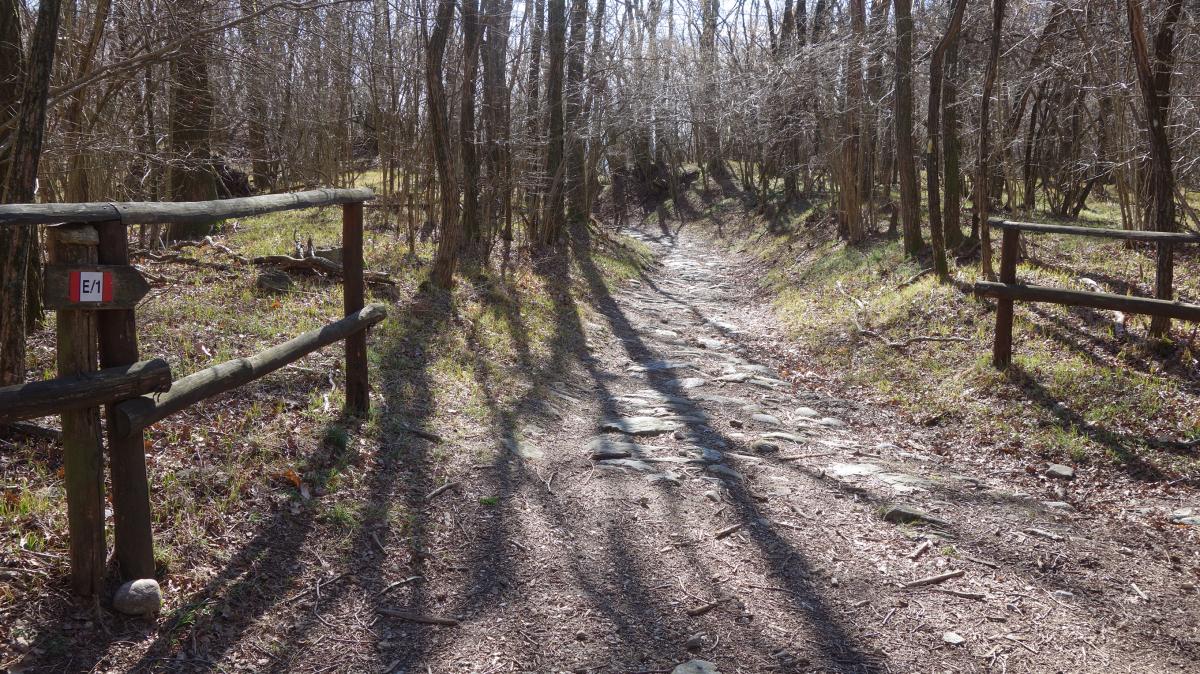
Stage
01.02 Brinzio - Gavirate
19.5km
Distance
-
Walking time
1035m
Total climb
1282m
Total descent
Photos
Stage description
Authors TM
 Show authors
The following users contributed to this text:
Hiking maps
No maps added yet
Marking
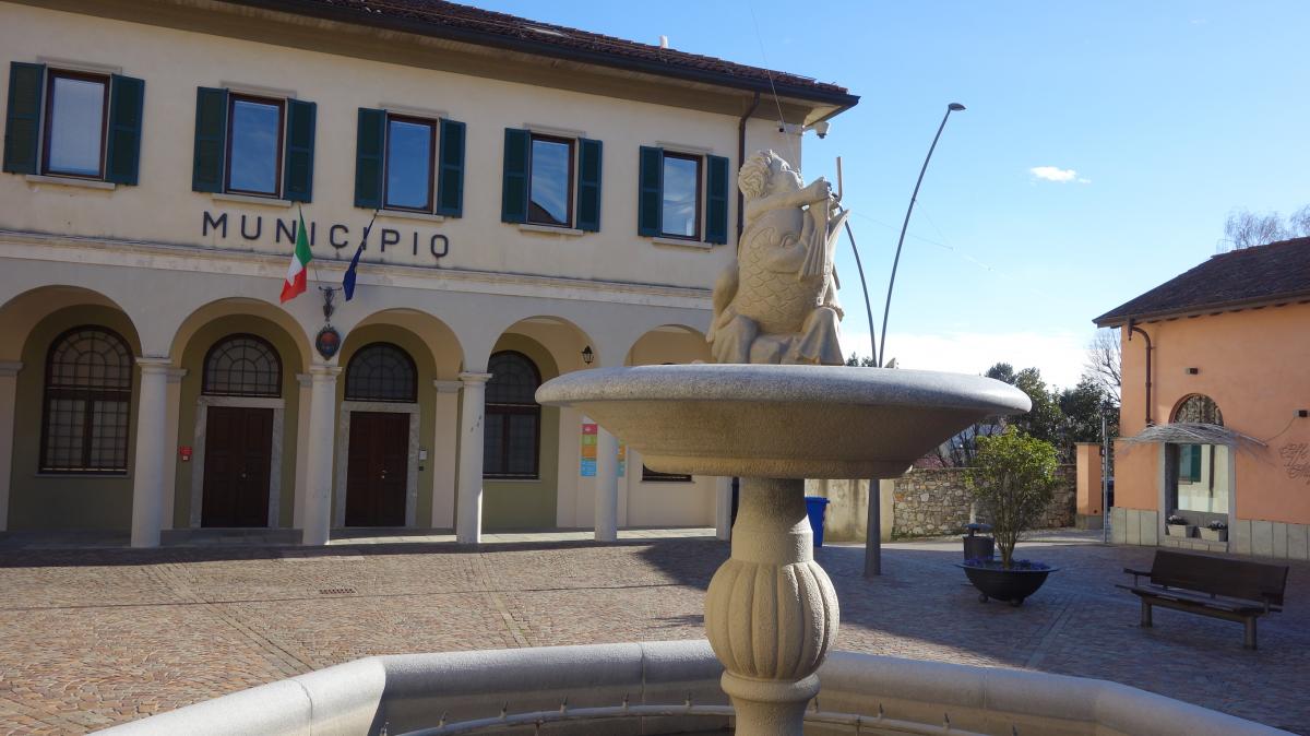
Accommodation
| Accommodation | Price group | |||
|---|---|---|---|---|
| 5-15 € | 16-30 € | 31-45 € | >45 € | |
|
Locanda del Brinsc
Brinzio
Price group: >45 €
|
|
|||
|
Dolcelago Lake and Cake
Gavirate
Price group: >45 €
|
|
|||
|
B&B La Folaga
Gavirate
Price group: >45 €
|
|
|||
Links
enrosadira.it - Lombardy North
Information about the E1 in northern Lombardy.
Parco Regionale Campo dei Fiori
Sources and copyright
GPX track coordinates: © OpenStreetMap contributors. Published under Open Database License (ODbL)GPX-Downloads
You can use the GPX track for navigation and tour planning on your digital device (GPS, smartphone, online tour planner).
| Etappe Stage 01.02 Brinzio - Gavirate | Download (.gpx) |
| All tracks in Italy | Download (.zip) |
The download and many of the services offered on this page are free of charge. However, I would greatly appreciate a small donation as a token of appreciation for my work! This can be done through Paypal or a supporting membership. Thank you very much!