
Trans Swiss Trail - Wanderland Route 2
The long-distance hiking trail Trans Swiss Trail runs for 488 kilometres from Porrentruy to Mendrisio across Switzerland. Between Flüelen by the Lake of Uri and Morcote by the Lake of Lugano it is part of the European long-distance path E1. The E1 reaches its highest point on this section with the crossing of the Gotthard pass and continues south in Porto Ceresio in Italy.
Marking
-
 Trans Swiss Trail
Stages of the E1 on the Trans Swiss Trail - Wanderland Route 2
Note: The following stage overview does not depict the complete course of the hiking trail, but only lists stages that are identical or partly identical to the European long distance path E1.
Switzerland
| Stage | Distance | Region | ||
|---|---|---|---|---|
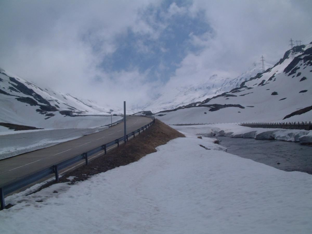
| 2.4 Flüelen - Amsteg | 18 km | Central Switzerland | ||
| 2.05 Amsteg - Andermatt | 21 km | Central Switzerland | ||
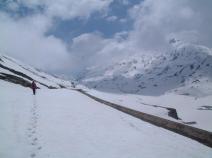
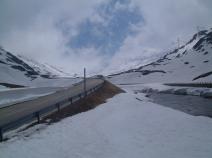
| 2.6 Andermatt - Airolo | 19.9 km | Central Switzerland | ||
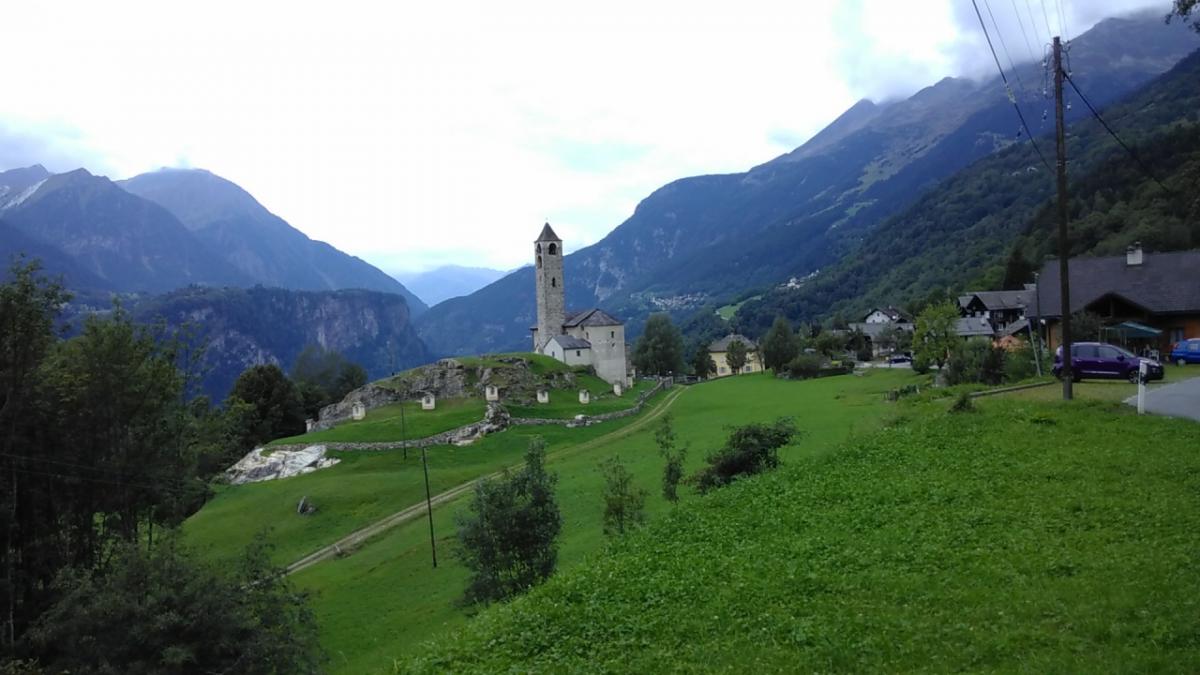
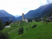
| 3.01 Airolo - Osco | 17.9 km | Southern Switzerland | ||
| 3.02 Osco - Anzonico | 12.4 km | Southern Switzerland | ||
| 3.03 Anzonico - Biasca | 19 km | Southern Switzerland | ||
| 3.04 Biasca - Bellinzona | 24.8 km | Southern Switzerland | ||
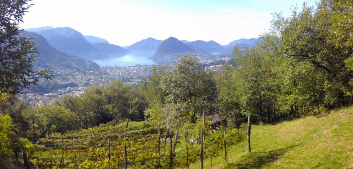
| 3.05 Bellinzona - Tesserete | 23.3 km | Southern Switzerland | ||
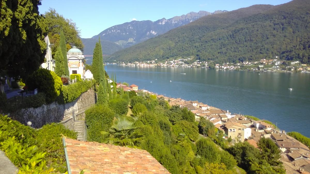
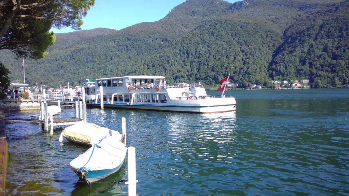
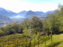
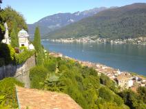
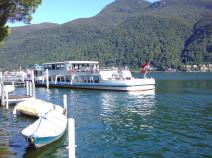
| 3.06 Tesserete - Lugano - Morcote | 24.8 km | Southern Switzerland |
Accommodation
|
Gotthardbackpacker
Wassen
|
Wassen |
|
Jugendherberge Hospenthal
Hospental (UR)
|
Hospental (UR) |
|
Gasthaus Pension Zum Turm
Hospental
|
Hospental |
|
Albergo San Gottardo
Airolo
|
Airolo |
|
Alloggio Girasole
Airolo
|
Airolo |
|
Agriturismo Da Paolin
Quinto
|
Quinto |
|
Ristorante Marti
Osco
|
Osco |
|
Camping - Centro vacanze Piantett
Calpiogna
|
Calpiogna |
|
Agriturismo - B&B Bertazzi
Cavagnago
|
Cavagnago |
|
Osteria Anzonico
Anzonico
|
Anzonico |
|
Agriturismo e Scuderia Bio-Etologica La Finca
Cresciano
|
Cresciano |
|
Ostello Cresciano
Cresciano
|
Cresciano |
|
TCS Camping Bellinzona
Bellinzona
|
Bellinzona |
|
Jugendherberge Bellinzona
Bellinzona (TI)
|
Bellinzona (TI) |
|
Agriturismo Alpe Zalto
Gola di Lago
|
Gola di Lago |
|
Bed & Breakfast - Tesserete
Tesserete
|
Tesserete |
|
Jugendherberge Lugano
Savosa (TI)
|
Savosa (TI) |
|
Hotel&Hostel Montarina
Lugano
|
Lugano |
|
Jugendherberge Figino
Figino (TI)
|
Figino (TI) |
Links
schweizmobil.ch - Wanderland Route 2 / Trans Swiss Trail
Information about Wanderland-Route 2 (Trans Swiss Trail)
https://www.schweizmobil.ch/en/hiking-in-switzerland/routes/route-02.html