11.09 Piano Pernicana - Monte la Nave
16.5km
Distance
-
Walking time
664m
Total climb
589m
Total descent
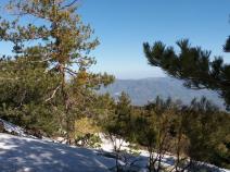
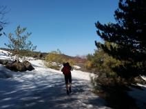
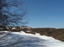
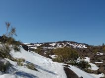
Photos
Stage description
N.B.: We don't have an English description of the stage just yet. We'll give you the German version for now until the English version is ready.
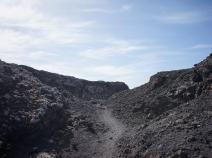
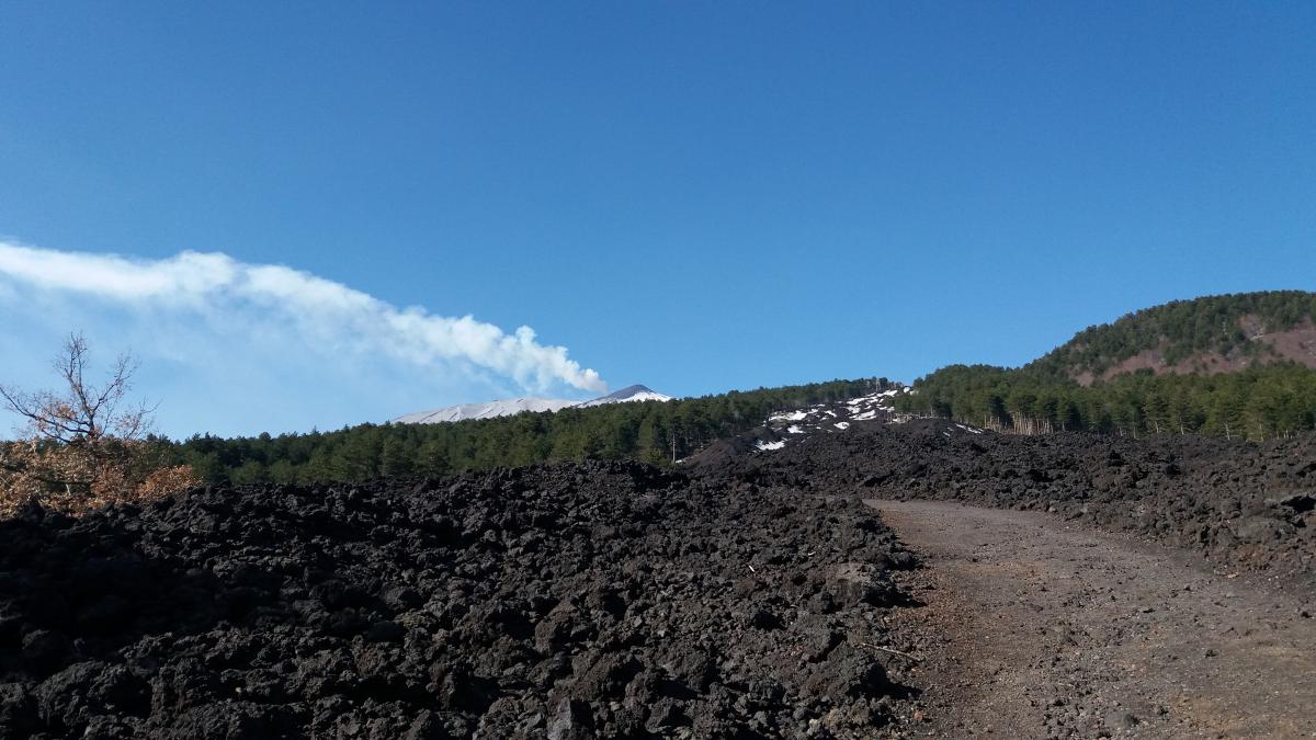
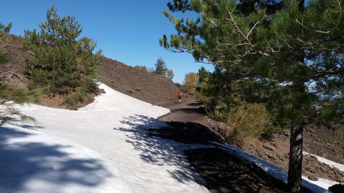
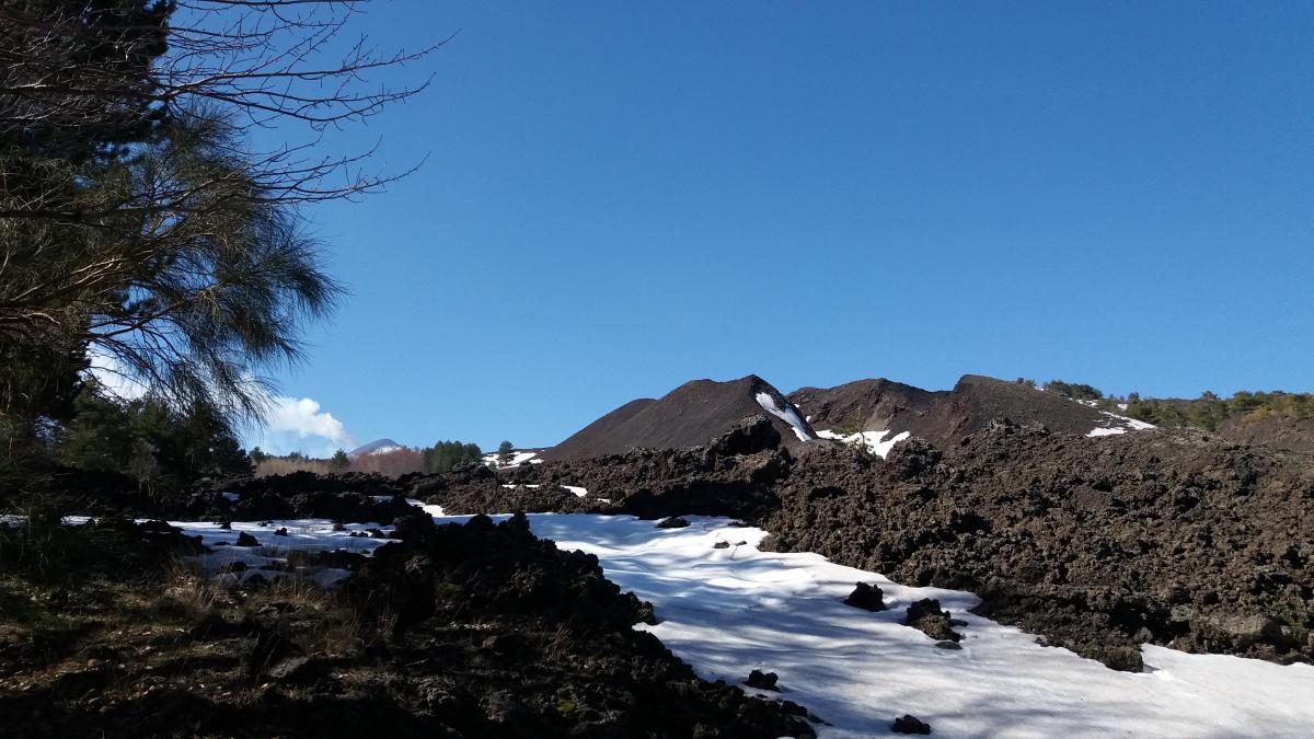
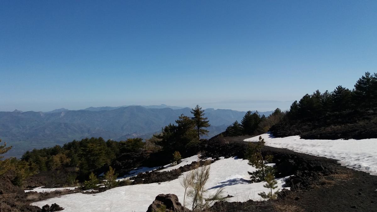
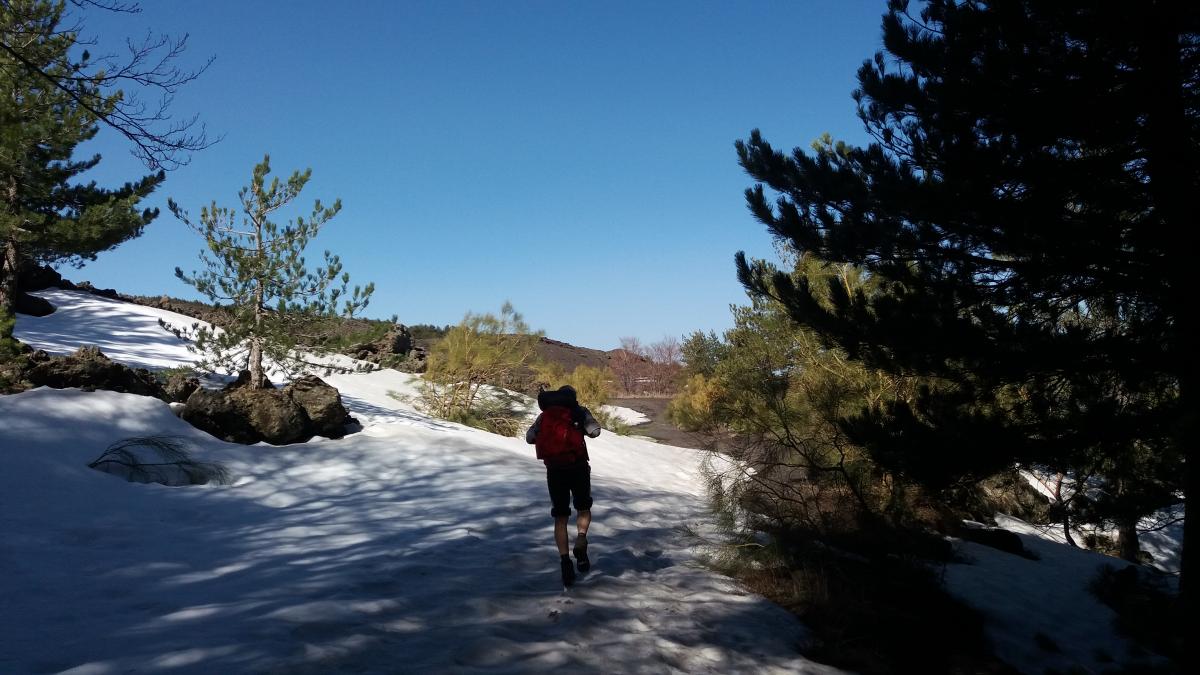
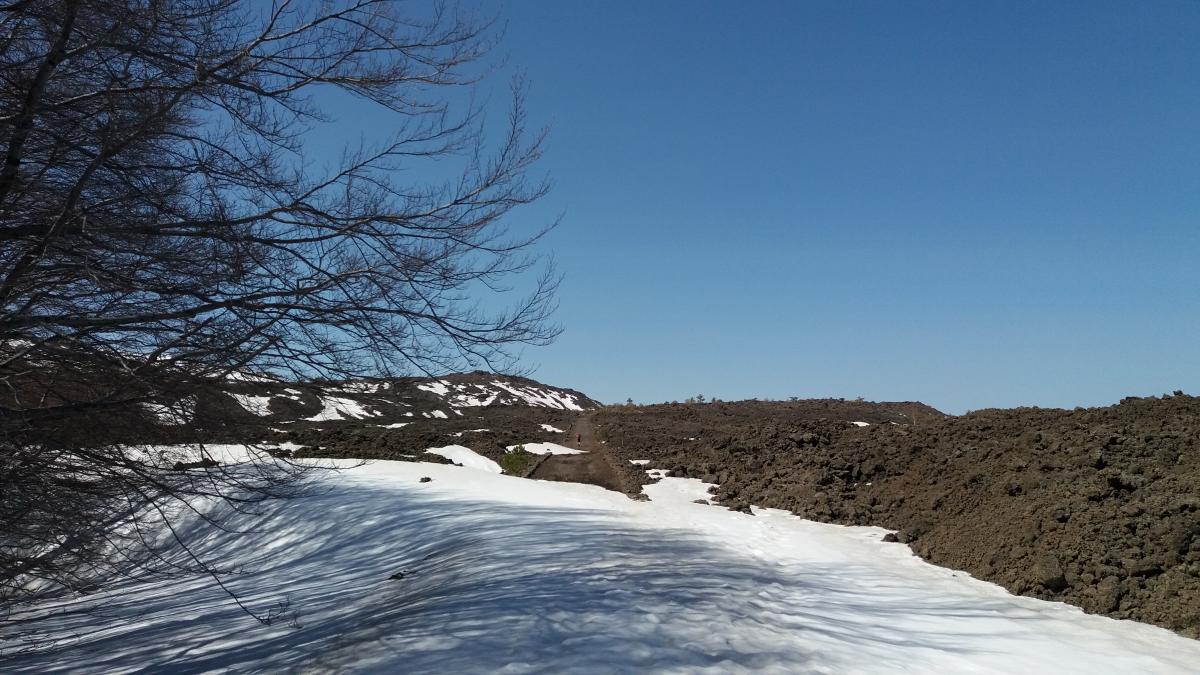
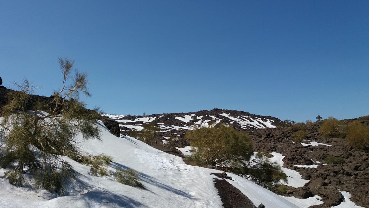
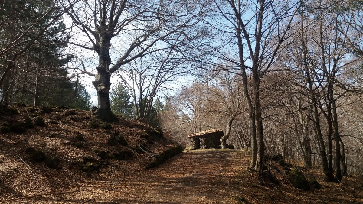
Von nun an verläuft der E1 dabei auf der Pista Altomontana (701). Dieser Hauptwanderweg führt auf seiner vollen Länge einmal um den gesamten Ätna.
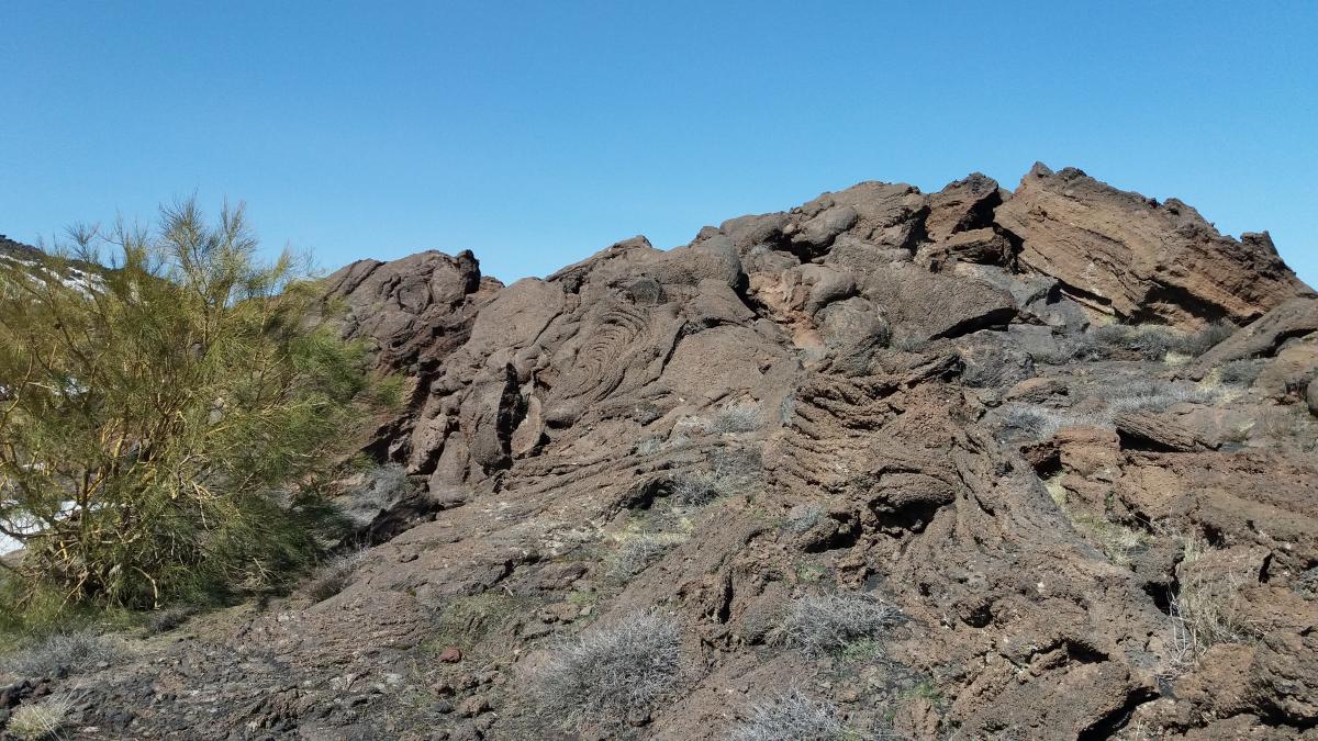
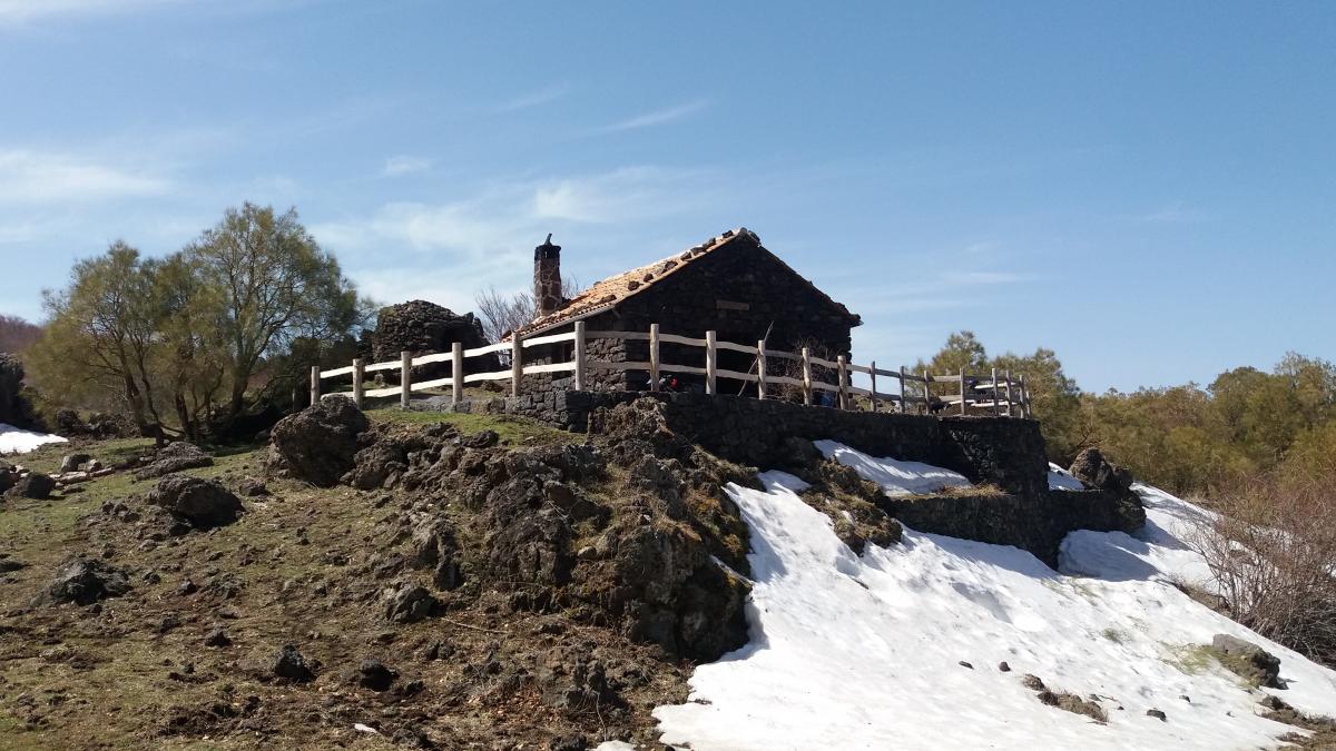
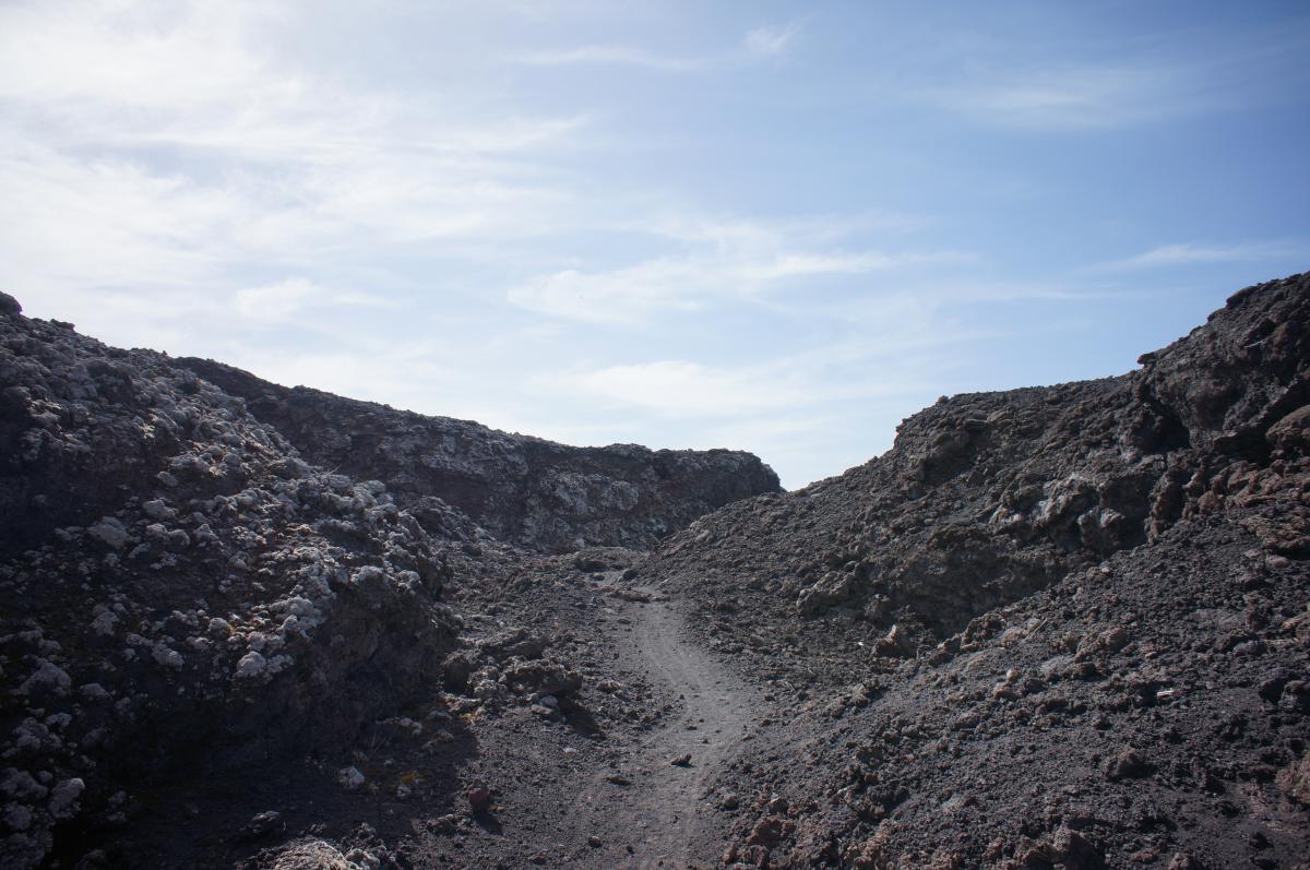
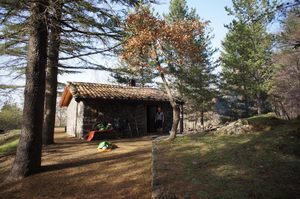
Nach dem Rifugio Santa Maria, ca. 15 Kilometer nach dem Start auf der Pista Altomontana muss der Hauptweg nach links verlassen werden. An dieser Stelle wird die Lava von 1981 gekreuzt. Am Rifugio Monte Spagnolo (kein Wasser) erreichen wir wieder die Pista Altomontana, der wir bis zum Rifugio Monte la Nave folgen.
Je nach gewünschten Etappenlängen kann diese Etappe auch zu einem der anderen Rifugios verkürzt oder verlängert werden.
The following users contributed to this text:
Hiking maps
No maps added yet
Marking
-
 E1 Italy
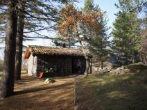
Accommodation
| Accommodation | Price group | |||
|---|---|---|---|---|
| 5-15 € | 16-30 € | 31-45 € | >45 € | |
|
Rifugio Ragabo
Linguaglossa (CT)
Price group: 30-45 €
|
|
|||
|
Rifugio Brunek
Price group: €
|
||||
|
Rifugio Santa Maria
Price group: €
|
||||
|
Rifugio Monte Spagnolo
Price group: €
|
||||
|
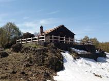
Rifugio Monte la Nave
Price group: €
|
||||
Sources and copyright
GPX track coordinates: © OpenStreetMap contributors. Published under Open Database License (ODbL)GPX-Downloads
You can use the GPX track for navigation and tour planning on your digital device (GPS, smartphone, online tour planner).
| Etappe Stage 11.09 Piano Pernicana - Monte la Nave | Download (.gpx) |
| All tracks in Italy | Download (.zip) |
The download and many of the services offered on this page are free of charge. However, I would greatly appreciate a small donation as a token of appreciation for my work! This can be done through Paypal or a supporting membership. Thank you very much!