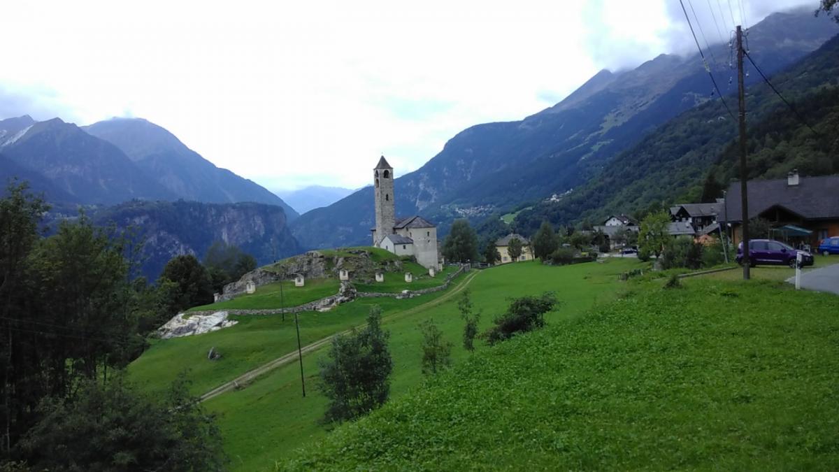
Strada Alta
The Strada Alta hiking trail leads from Airolo to Biasca on the slopes of the Leventina valley in southern Switzerland. It is part of the Trans Swiss Trail and the European long-distance path E1.
Marking
-
 Mountain trail (Switzerland)
-
 Trans Swiss Trail
Stages of the E1 on the Strada Alta
Switzerland
| Stage | Distance | Region | ||
|---|---|---|---|---|
| 3.01 Airolo - Osco | 17.9 km | Southern Switzerland | ||
| 3.02 Osco - Anzonico | 12.4 km | Southern Switzerland | ||
| 3.03 Anzonico - Biasca | 19 km | Southern Switzerland |
Accommodation
|
Alloggio Girasole
Airolo
|
Airolo |
|
Agriturismo Da Paolin
Quinto
|
Quinto |
|
Ristorante Marti
Osco
|
Osco |
|
Camping - Centro vacanze Piantett
Calpiogna
|
Calpiogna |
|
Agriturismo - B&B Bertazzi
Cavagnago
|
Cavagnago |
|
Osteria Anzonico
Anzonico
|
Anzonico |
Links
wandersite.ch - Strada Alta
Extensive information about the Strada Alta (german). Between Airolo and Biasca the E1 follows the "Strada Alta".
stradaalta.ch
Basic stage descriptions of the Strada Alta (german). Between Airolo and Biasca the E1 follows the "Strada Alta".