2.07 Rødekro - Kliplev
18.6km
Distance
-
Walking time
88m
Total climb
91m
Total descent
Photos
Stage description
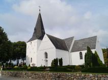
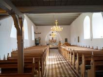
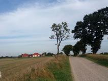
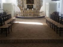
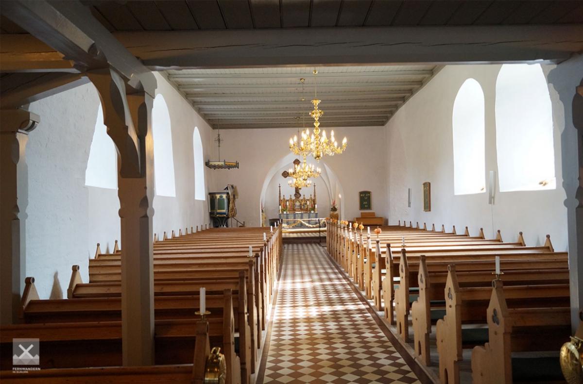
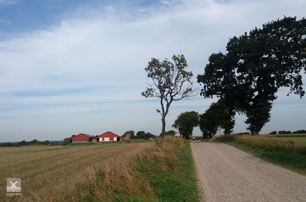
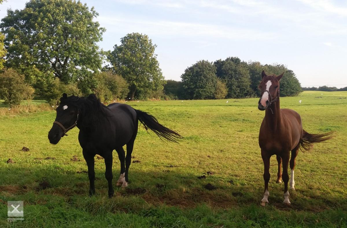
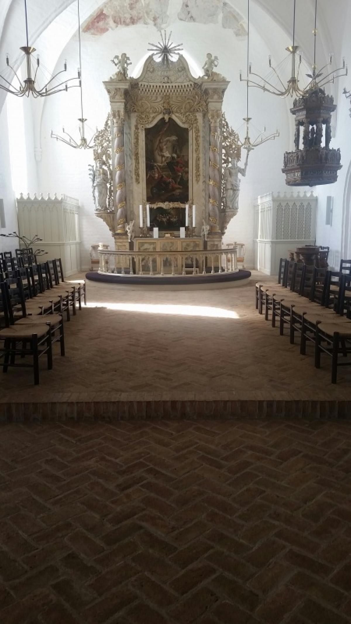
First of all, the trail follows the Hærvejen through Rødekro heading south. Just before the level crossing, the E1 takes a left turn on a narrow path, crosses over a road and leads to the church in Rise.
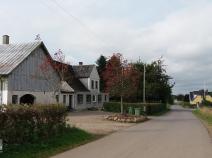
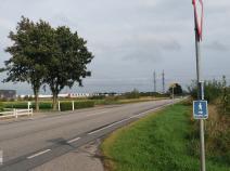
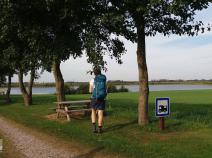
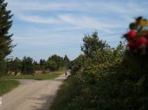
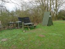
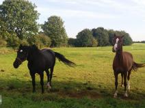
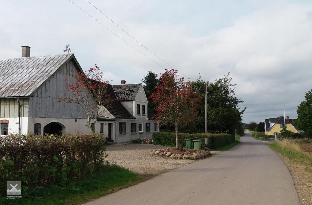
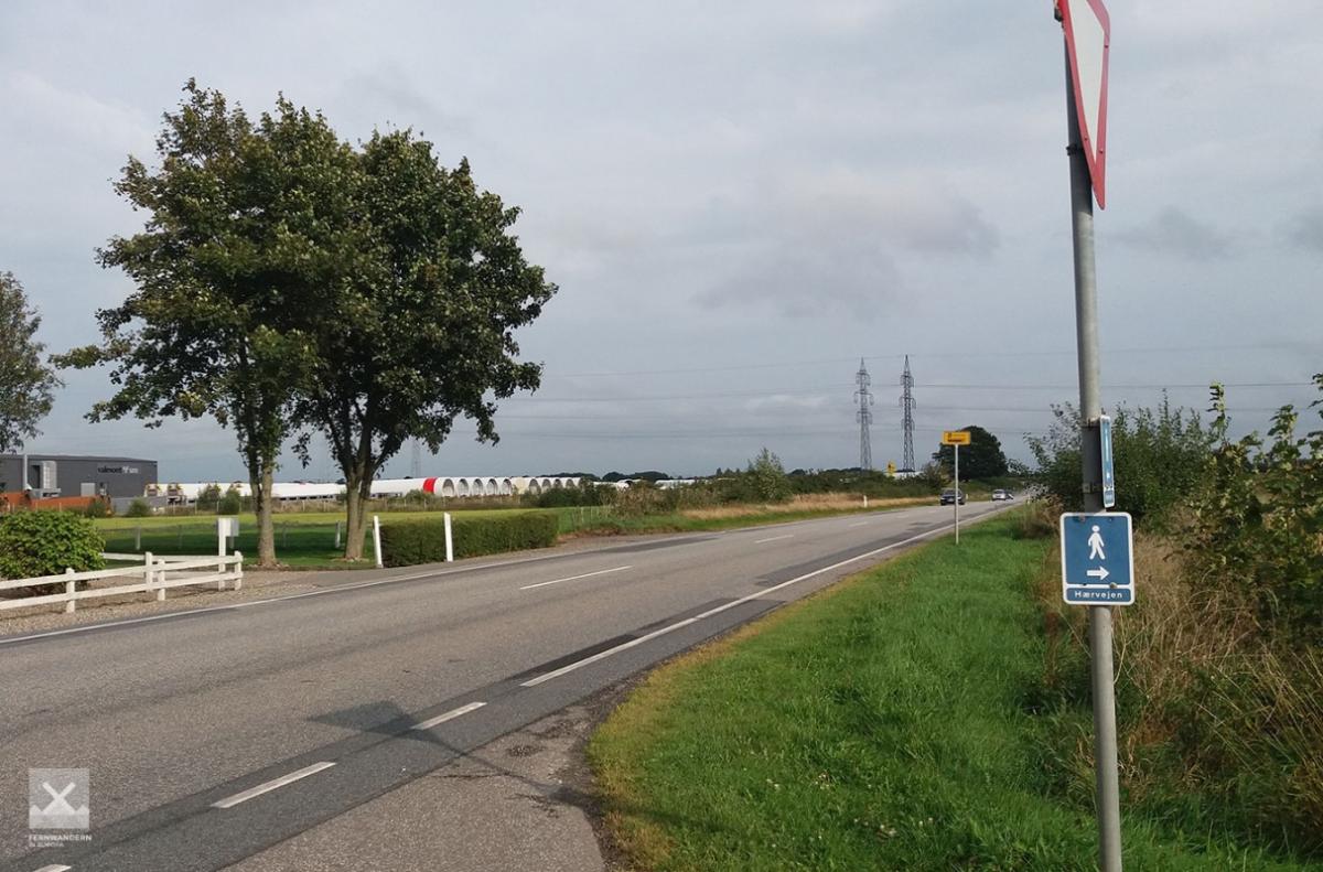
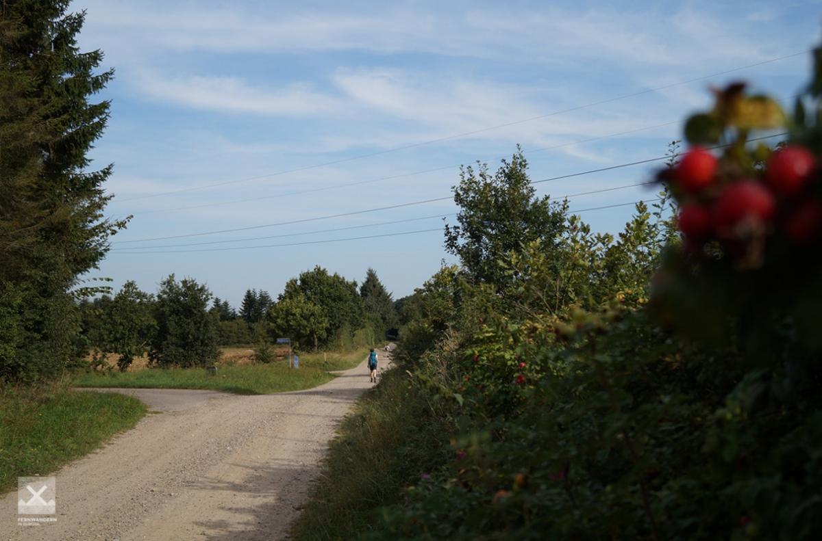
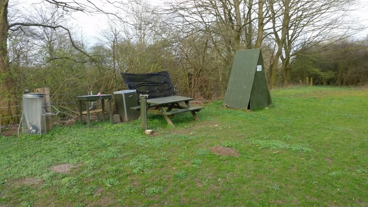
For a long time the route follows asphalted paths through a largely agricultural area. After roughly 7km it reaches the town of Hjordkær (here there is bus to Aabenraa). Roughly 500 metres after the 2nd roundabout, the path leaves the road and instead of asphalt, it now follows a wide gravel road. At kilometre 10, a sheltered picnic area offers a nice spot for a break.
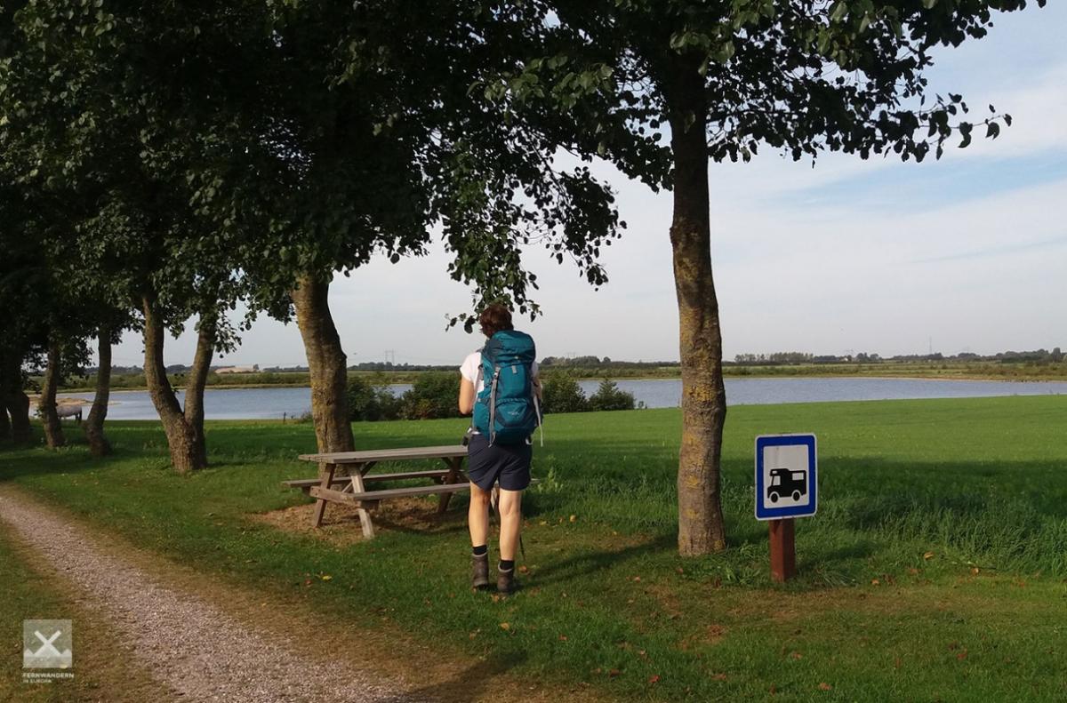
There is another spot for a good break after a further 4km close to a small lake.
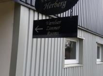
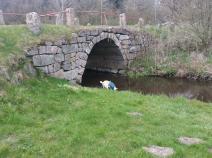
Three kilometres before the end of the stage in Kliplev you can find accommodation at the 'Povlskro Herberg' directly on the E1 route. A couple of hundred metres further on, the E1 cross a small stream, the Bjerndrup Mølleå, on the Povls Bro bridge.
The following users contributed to this text:
Hiking maps
No maps added yet
Marking
-
 Hiking trail (Denmark)
Accommodation
| Accommodation | Price group | |||
|---|---|---|---|---|
| 0-150 DKK |
151-300 DKK |
301-450 DKK |
>450 DKK |
|
|
Hotel Røde-Kro
Rødekro
Price group: DKK >450
|
|
|||
|
Skrivergårdens Teltplads
Rise
Price group:
|
||||
|
Stokhytten
Hjordkær
Price group:
|
||||
|
Torp Plantage
Price group:
|
||||
|
Årtoft Plantage
Price group:
|
||||
|
Povlskro Herberg
Aabenraa
Price group: DKK 150-300
|
|
|||
|
Pension Lindely
Aabenraa
Price group: DKK 0-150,DKK 150-300
|
|
|
||
|
Shelter Bjerndrup
Bjerndrup
Price group:
|
||||
|
Show more accommodation in Rødekro
(booking.com / Ad)
|
||||
Links
haervej.com - Stage Rødekro - Kliplev
Stage descriptions and map for printing
https://www.haervej.com/ancient-road/hiking-holiday/hiking-stage-rodekro-kliplev-18-km
Literature

Sources and copyright
GPX track coordinates: © OpenStreetMap contributors. Published under Open Database License (ODbL)GPX-Downloads
You can use the GPX track for navigation and tour planning on your digital device (GPS, smartphone, online tour planner).
| Etappe Stage 2.07 Rødekro - Kliplev | Download (.gpx) |
| All tracks in Denmark | Download (.zip) |
The download and many of the services offered on this page are free of charge. However, I would greatly appreciate a small donation as a token of appreciation for my work! This can be done through Paypal or a supporting membership. Thank you very much!