2.06 Vojens - Rødekro
30.9km
Distance
-
Walking time
252m
Total climb
251m
Total descent
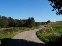
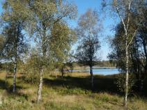
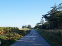
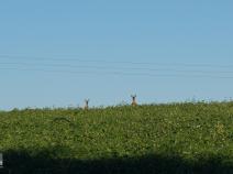
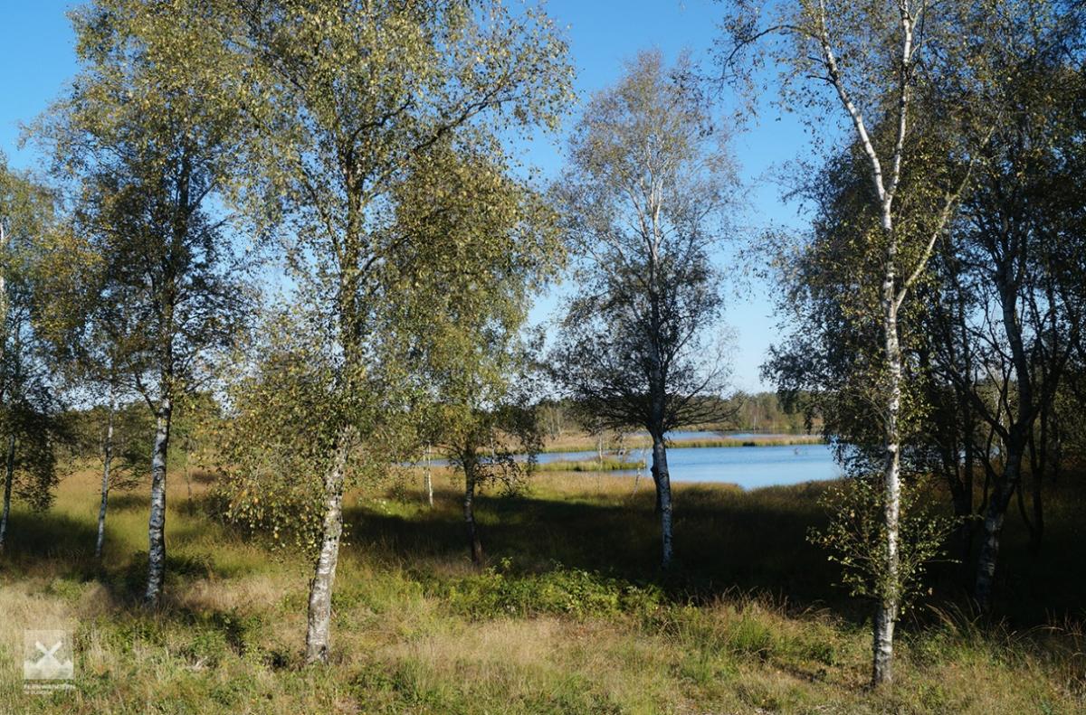
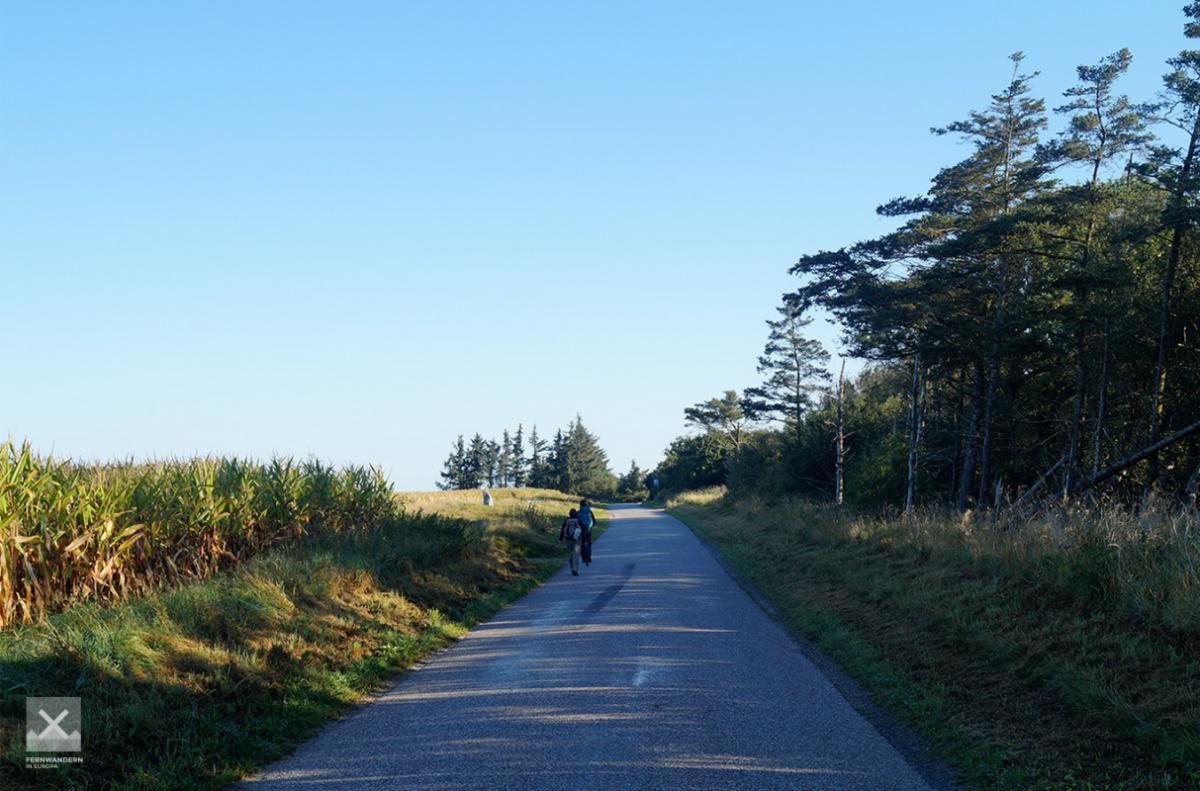
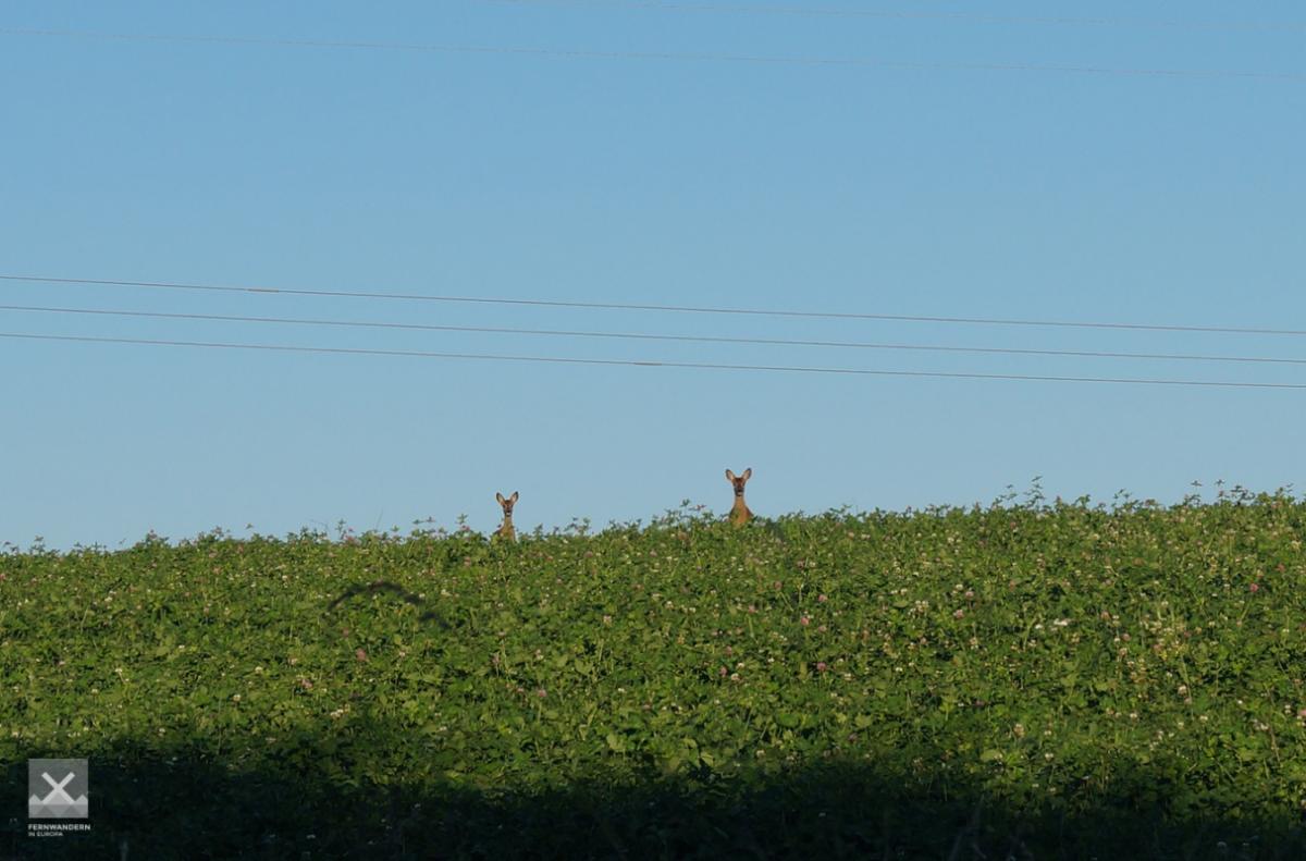
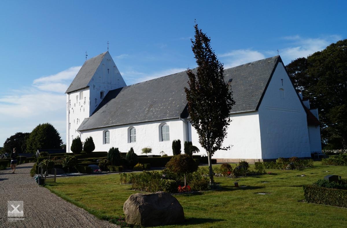
Photos


Stage description
No description available yet.
Hiking maps
No maps added yet
Marking
-
 Hiking trail (Denmark)
Accommodation
| Accommodation | Price group | |||
|---|---|---|---|---|
| 0-150 DKK |
151-300 DKK |
301-450 DKK |
>450 DKK |
|
|
Vojens Campingplads
Vojens
Price group: DKK 0-150
|
|
|||
|
Tørninggård
Vojens
Price group:
|
||||
|
Pamhule Skov
Christiansdal
Price group:
|
||||
|
Shelter Vedsted
Vedstedt
Price group:
|
||||
|
Teltplads Stengelmose
Skovby
Price group:
|
||||
|
Immervad Bro
Vojens
Price group:
|
||||
|
Immervad Bro Teltplads
Price group:
|
||||
|
Bruhnsgård
Øster Løgum
Price group: DKK 150-300
|
|
|||
|
Hotel Røde-Kro
Rødekro
Price group: DKK >450
|
|
|||
|
Skrivergårdens Teltplads
Rise
Price group:
|
||||
Sights
-
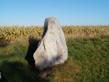
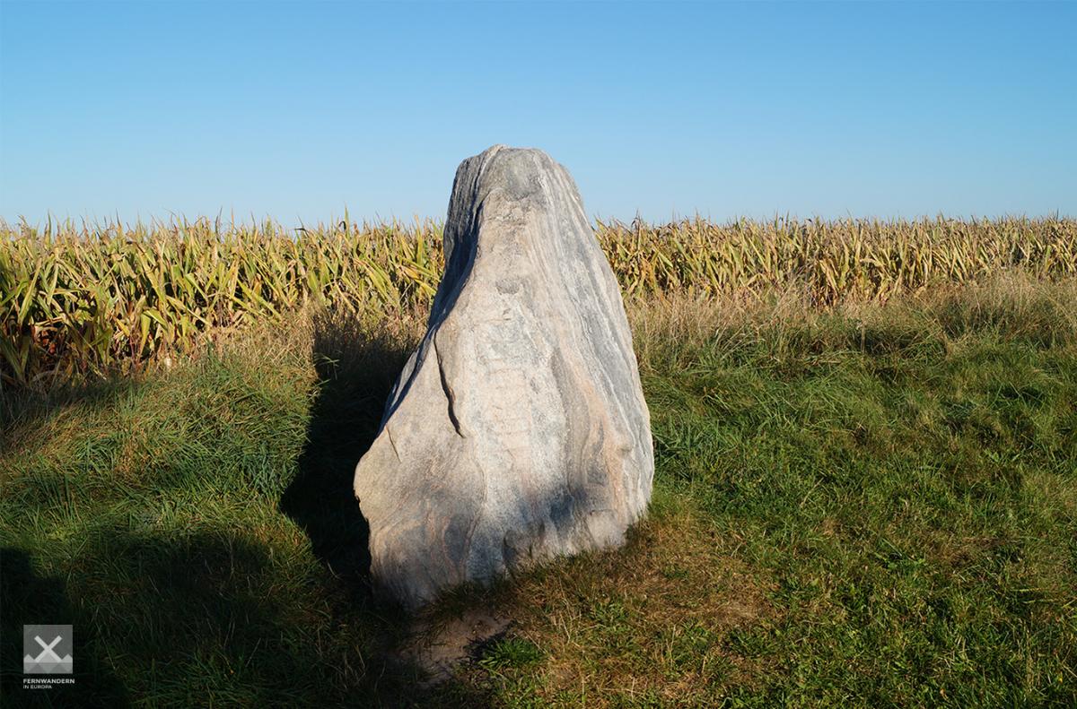
Hærulfstenen
Runestone from the 10th century with the inscription "Hairulfr". Who the host wolf was is unknown. In 1864 the stone was brought to Berlin as spoils of war and stood in the hunting lodge Dreilinden. In 1952 the stone was put back in its original place.
Source: Information board on the way
-
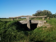
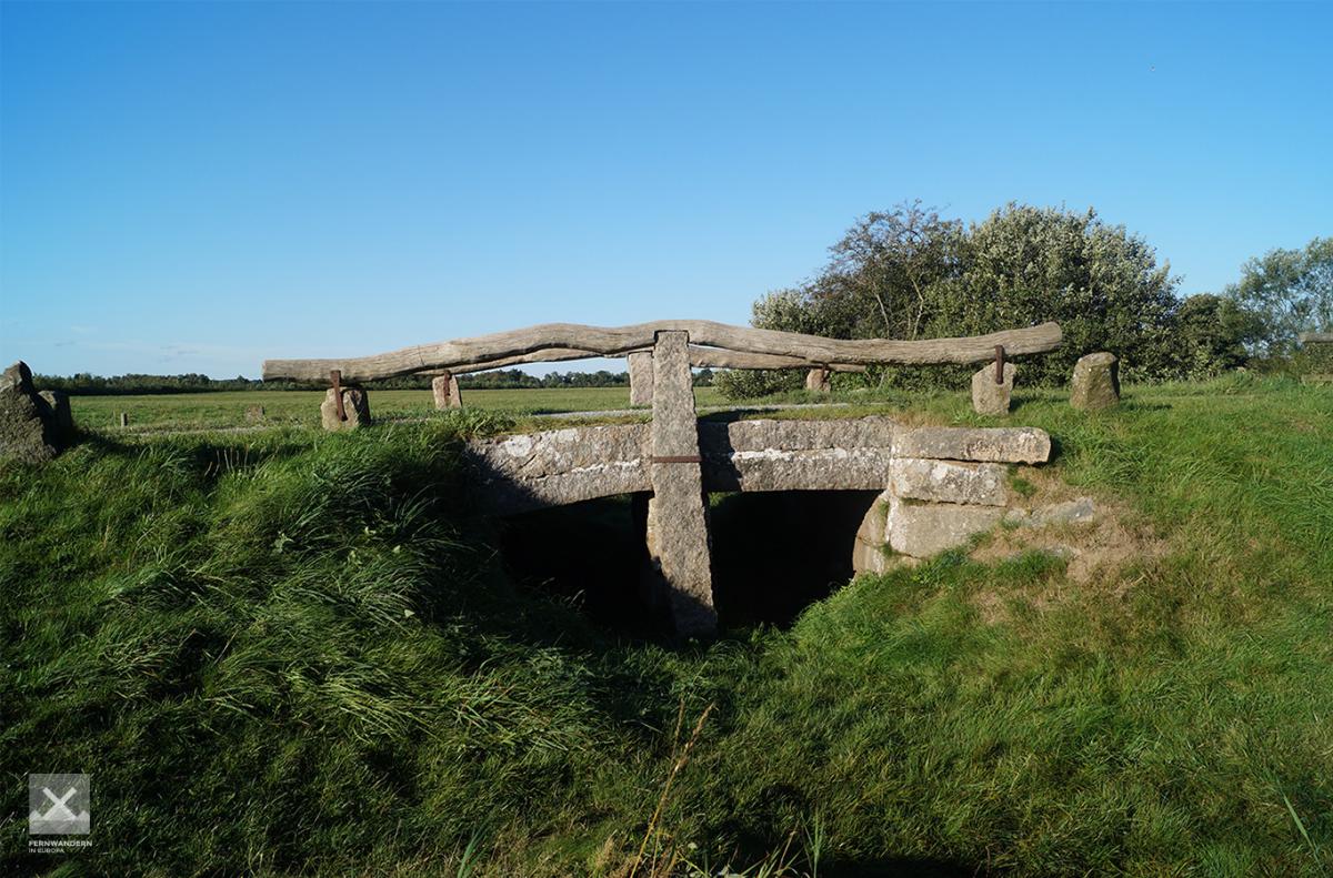
Immervad Bro
Die 1786 erbaute Steinbrücke ist die älteste am Ochsenweg und hat die alte Furt bei Immervad ersetzt. Hier soll 1422 eine Schlacht zwischen Erik von Pommern und den holsteinischen Gräfen ausgefochten worden sein.
Quelle: Infotafel am Weg


Links
haervej.com - Stage Vojens - Rødekro
Stage descriptions and map for printing
https://www.haervej.com/ancient-road/hiking-holiday/hiking-stage-vojens-rodekro-31-km
Literature

Sources and copyright
GPX track coordinates: © OpenStreetMap contributors. Published under Open Database License (ODbL)GPX-Downloads
You can use the GPX track for navigation and tour planning on your digital device (GPS, smartphone, online tour planner).
| Etappe Stage 2.06 Vojens - Rødekro | Download (.gpx) |
| All tracks in Denmark | Download (.zip) |
The download and many of the services offered on this page are free of charge. However, I would greatly appreciate a small donation as a token of appreciation for my work! This can be done through Paypal or a supporting membership. Thank you very much!