1.07 Ry - Virklund
15.3km
Distance
-
Walking time
345m
Total climb
314m
Total descent
Photos
Stage description
N.B.: We don't have an English description of the stage just yet. We'll give you the German version for now until the English version is ready.
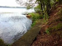
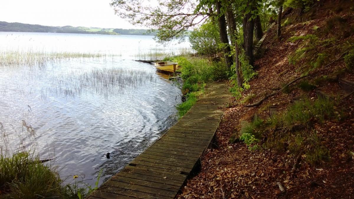
Abwechslungsreiche Etappe mit zahlreichen Seen sowie einigen zu bewältigenden Höhenmetern.
In Ry findet man einen Supermarkt mit Café, einen Zeltplatz und einen Bahnhof (Züge nach Skanderborg und Silkeborg). Nach ca. einer Stunde Wanderung gelangt man zum Julsø, vorher kommt man noch am kleinen Birksø vorbei. Am Julsø ist die Ausschilderung etwas unübersichtlich mit grünen und roten Punkten und Dreiecken. Hinter dem Westufer des Julsø wird es recht bergig. Man muss einige Höhenmeter erklimmen und fühlt sich entfernt an ein deutsches Mittelgebirge erinnert. Anschließend folgen der kleine Slåensø und der größere Borre Sø, an dessen Ufer man noch einmal eine ganze Weile laufen muss. Am Zielort Virklund fahren Busse nach Silkeborg und Nørre Snede, außerdem liegt direkt an der Horsensvej eine Pizzeria.
The following users contributed to this text:
Hiking maps
No maps added yet
Marking
-
 Hiking trail (Denmark)
Accommodation
| Accommodation | Price group | |||
|---|---|---|---|---|
| 5-15 € | 16-30 € | 31-45 € | >45 € | |
|
Skyttehusets Camping
Virklund
Price group: €
|
||||
|
Show more accommodation in Ry
(booking.com / Ad)
|
||||
Sources and copyright
GPX track coordinates: © OpenStreetMap contributors. Published under Open Database License (ODbL)GPX-Downloads
You can use the GPX track for navigation and tour planning on your digital device (GPS, smartphone, online tour planner).
| Etappe Stage 1.07 Ry - Virklund | Download (.gpx) |
| All tracks in Denmark | Download (.zip) |
The download and many of the services offered on this page are free of charge. However, I would greatly appreciate a small donation as a token of appreciation for my work! This can be done through Paypal or a supporting membership. Thank you very much!