1.03 Krakær - Rønde
15km
Distance
-
Walking time
244m
Total climb
225m
Total descent
Photos
Stage description
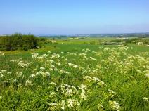
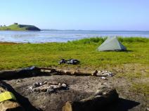
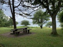
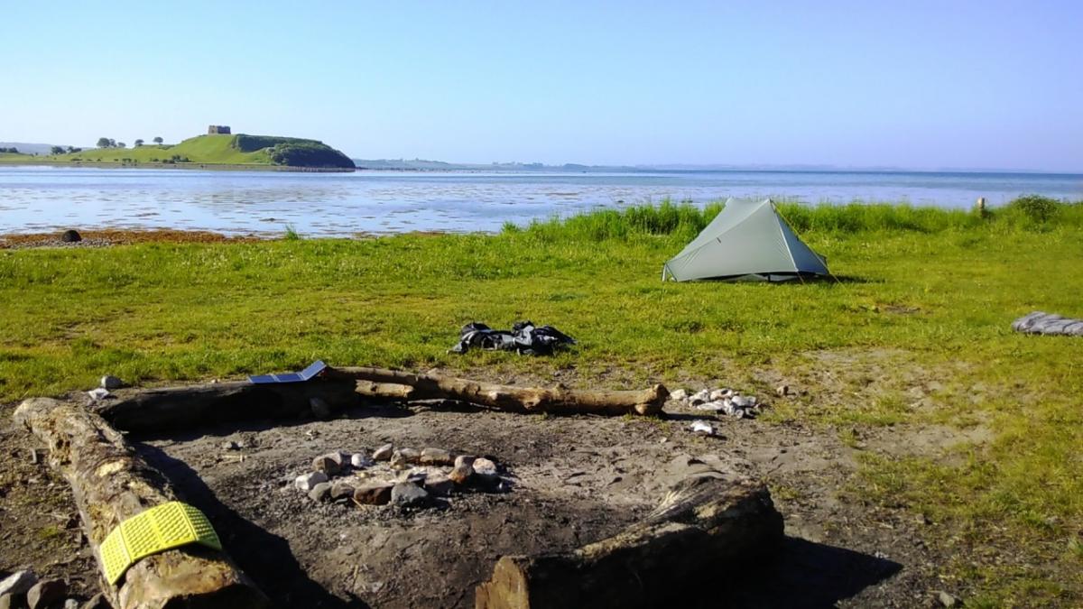
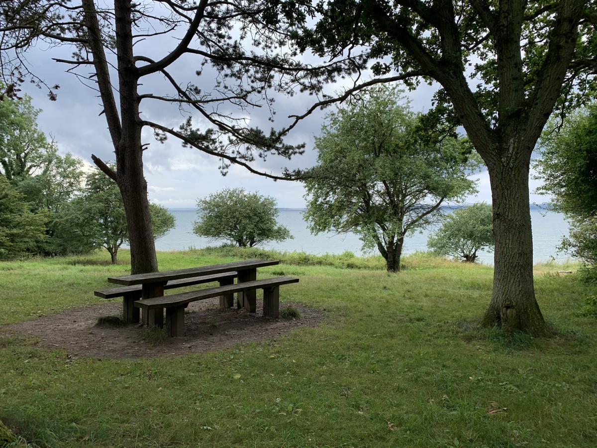
You reach Kejlstrup via beautiful country roads. At the main road (Kejlstrupvej) you have to turn directly left, even though many hiking trails continue straight ahead. The route then continues through Møls Bjerge to the sea. There follows a longer section on tarmac directly alongside the main road. In return, you have a beautiful view of Kalø Slotsruin, where you can also buy something to eat. After a wide curve through the forest, you reach Rønde. There is a supermarket, bakery, pizzeria, café and a youth hostel. There are regular buses to Aarhus.
The following users contributed to this text:
Hiking maps
No maps added yet
Marking
-
 Hiking trail (Denmark)
Accommodation
| Accommodation | Price group | |||
|---|---|---|---|---|
| 0-150 DKK |
151-300 DKK |
301-450 DKK |
>450 DKK |
|
|
Krakær Camping
Ebeltoft
Price group: DKK 0-150
|
|
|||
|
Kalø Hovedgård
Rønde
Price group:
|
||||
|
Ørnbjerg Mølle
Krakær
Price group:
|
||||
|
Danhostel Rønde
Rønde
Price group:
|
||||
|
Show more accommodation in Rønde
(booking.com / Ad)
|
||||
Links
www.syddjurs.dk
Flyer about the "Molsruten" and hints for accommodation (PDF / dansk)
Sources and copyright
GPX track coordinates: © OpenStreetMap contributors. Published under Open Database License (ODbL)GPX-Downloads
You can use the GPX track for navigation and tour planning on your digital device (GPS, smartphone, online tour planner).
| Etappe Stage 1.03 Krakær - Rønde | Download (.gpx) |
| All tracks in Denmark | Download (.zip) |
The download and many of the services offered on this page are free of charge. However, I would greatly appreciate a small donation as a token of appreciation for my work! This can be done through Paypal or a supporting membership. Thank you very much!