Molsroute
The Molsroute is a hiking trail in the Danish region of Central Jutland that connects the Baltic seaport towns of Grenå and Århus. It is part of the European long distance path E1, which continues northwards in Varberg (Sweden) on Hallandsleden and southwards on the Århus - Silkeborg hiking trail.
Marking
-
 Hiking trail (Denmark)
Stages of the E1 on the Molsroute
Denmark
| Stage | Distance | Region | ||
|---|---|---|---|---|
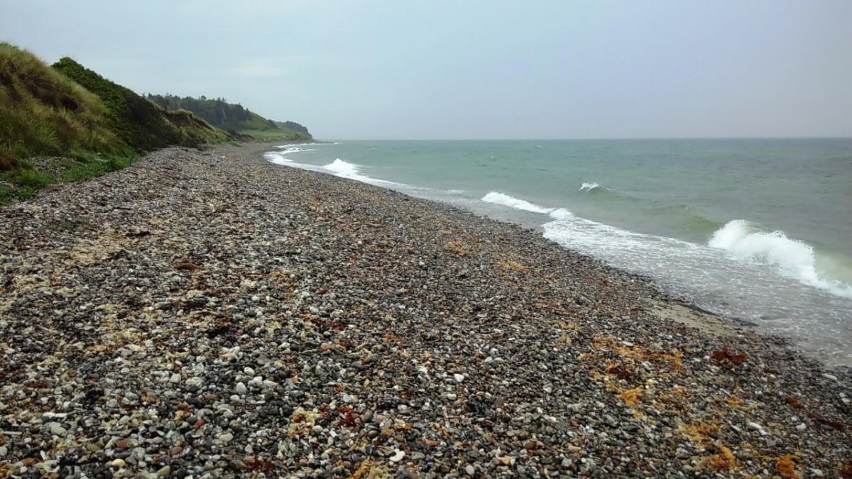
| 1.01 Grenå - Rugard | 18.1 km | Central Jutland | ||
| 1.02 Rugard - Krakær | 18.5 km | Central Jutland | ||
| 1.03 Krakær - Rønde | 15 km | Central Jutland | ||
| 1.04 Rønde - Århus | 29.4 km | Central Jutland |
Accommodation
|
Grenaa Strand Camping
Grenå
|
Grenå |
|
Rugård Camping Djursland
Ebeltoft
|
Ebeltoft |
|
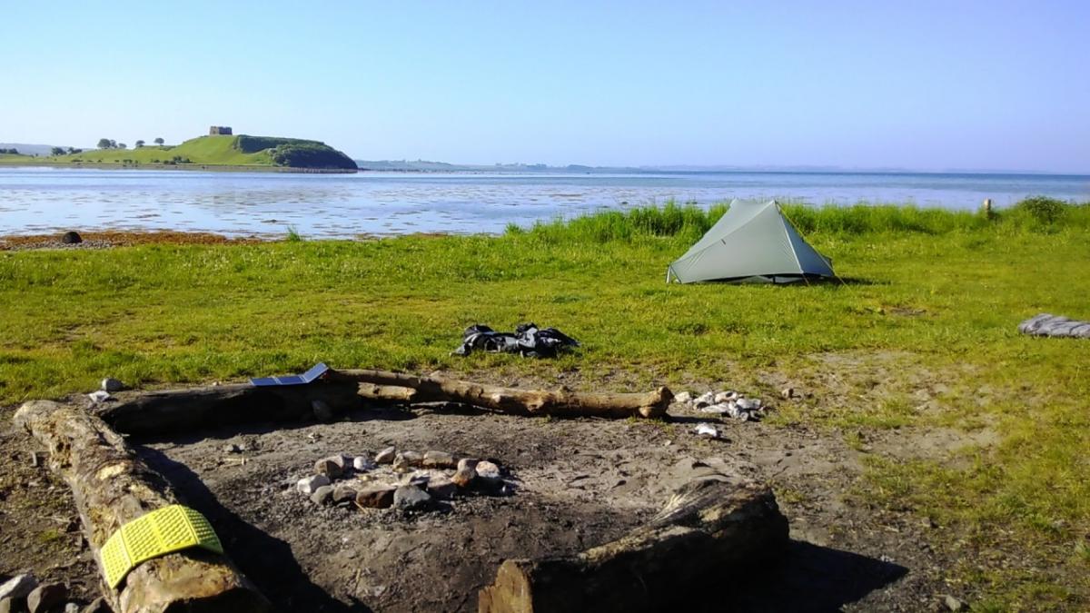
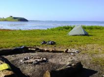
Shelterplads Stubbe Sø
Ebeltoft
|
Ebeltoft |
|
Ørnbjerg Mølle
Krakær
|
Krakær |
|
Krakær Camping
Ebeltoft
|
Ebeltoft |
|
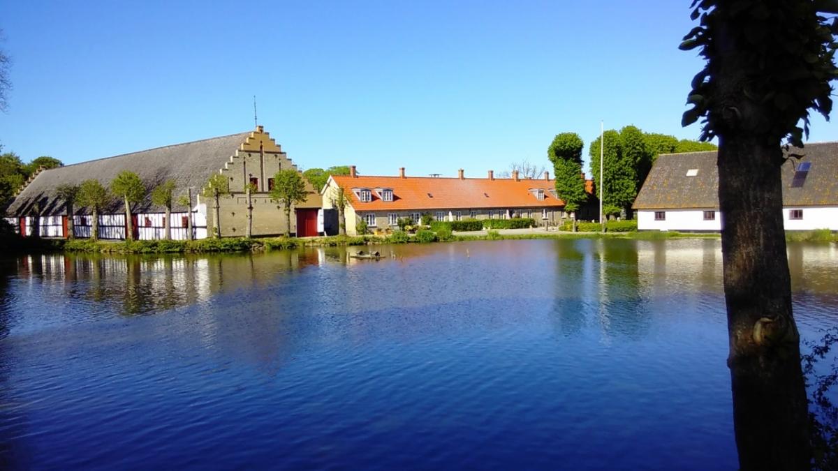
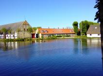
Kalø Hovedgård
Rønde
|
Rønde |
|
Danhostel Rønde
Rønde
|
Rønde |
|
Kaløvig Camping
Rønde
|
Rønde |
|
Lergravgaard
Rønde
|
Rønde |
|
Danhostel Aarhus
Risskov
|
Risskov |
Links
www.syddjurs.dk
Flyer about the "Molsruten" and hints for accommodation (PDF / dansk)