08.05 Gördalen - Tangsjöstugan
21.2km
Distance
-
Walking time
631m
Total climb
316m
Total descent
Photos
Stage description
N.B.: We don't have an English description of the stage just yet. We'll give you the German version for now until the English version is ready.
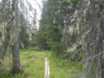
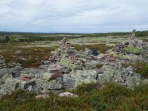
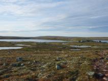
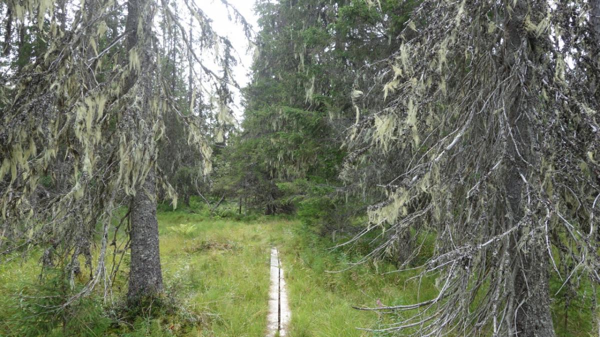
Zunächst geht es von Gördalen recht steil hinauf ins Fjäll. Man kann wunderbar die verschiedenen Vegetationszonen beobachten: Wald, Krüppelwald, karges Fjäll mit Moos-, Heide und Flechtenbewuchs. Viele Geröllfelder, kleine Seen und Tümpel.
Den ganzen Tag geht es über durch das Fulufjället.
Hiking maps
No maps added yet
Marking
-
 Hiking trail (Sweden)
Accommodation
| Accommodation | Price group | |||
|---|---|---|---|---|
| 0-200 SEK |
201-400 SEK |
401-600 SEK |
>600 SEK |
|
|
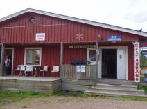
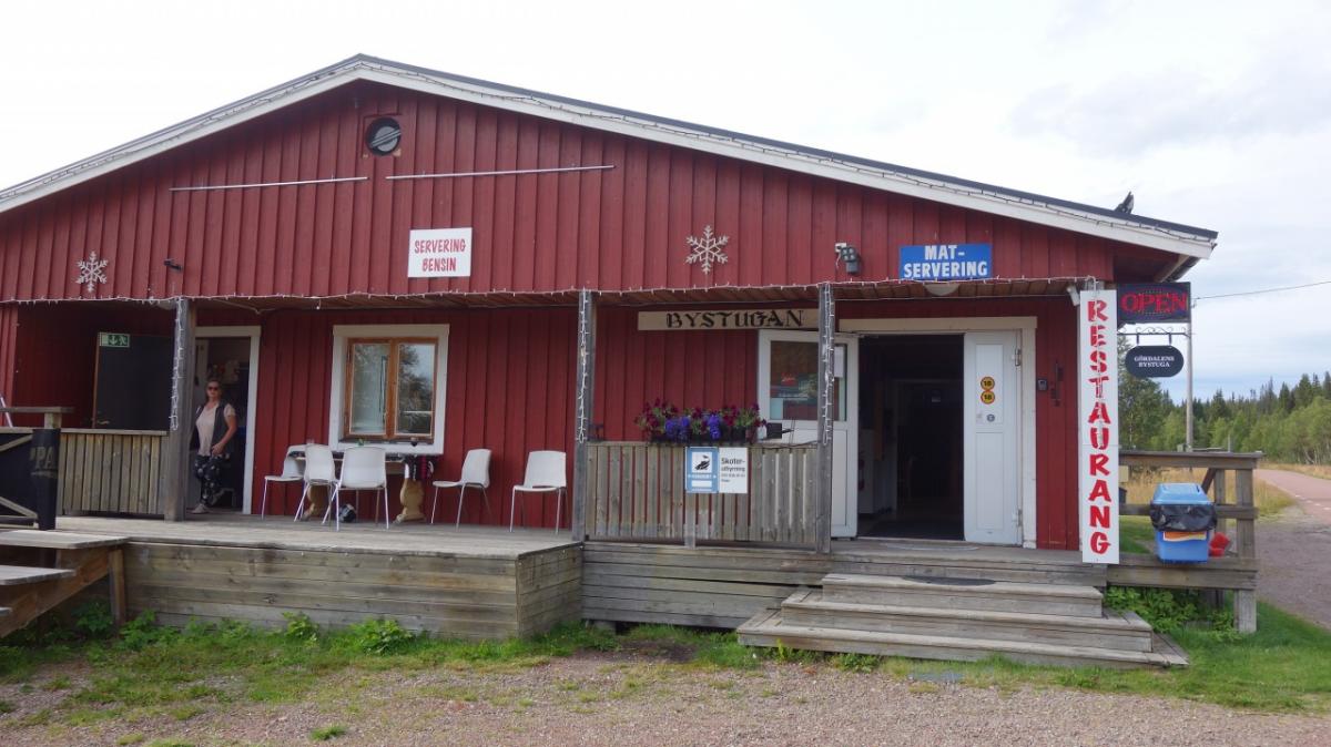
Gördalen
Price group:
|
||||
|
Skräddarns Fjällgård B&B
Gördalen
Price group: SEK 400-600
|
|
|||
|
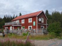
Gördalens Camping
Price group:
|
||||
|
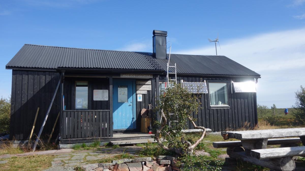
Harrsjöstugan
Price group:
|
||||
|
Rösjön
Price group:
|
||||
|
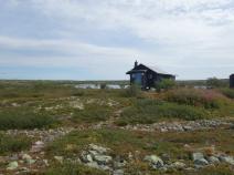
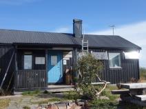
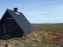
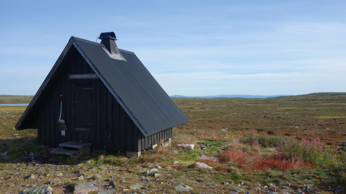
Tangsjöstugan
Price group:
|
||||
Links
Flyer about souther Kungsleden (PDF)
General information, overview map and information about huts and shelters
Literature

Sources and copyright
GPX track coordinates: © OpenStreetMap contributors. Published under Open Database License (ODbL)GPX-Downloads
You can use the GPX track for navigation and tour planning on your digital device (GPS, smartphone, online tour planner).
| Etappe Stage 08.05 Gördalen - Tangsjöstugan | Download (.gpx) |
| All tracks in Norway, Finland and Sweden | Download (.zip) |
The download and many of the services offered on this page are free of charge. However, I would greatly appreciate a small donation as a token of appreciation for my work! This can be done through Paypal or a supporting membership. Thank you very much!