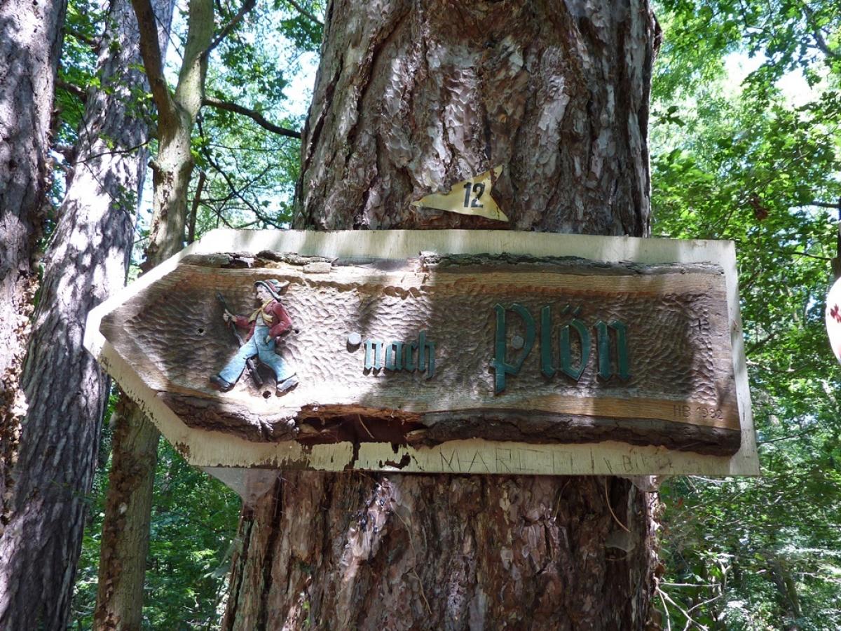
1.08 Preetz - Plön
24.8km
Distance
-
Walking time
383m
Total climb
379m
Total descent
Photos
Stage description
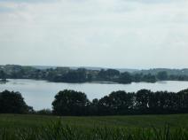
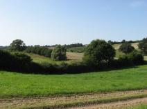
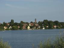
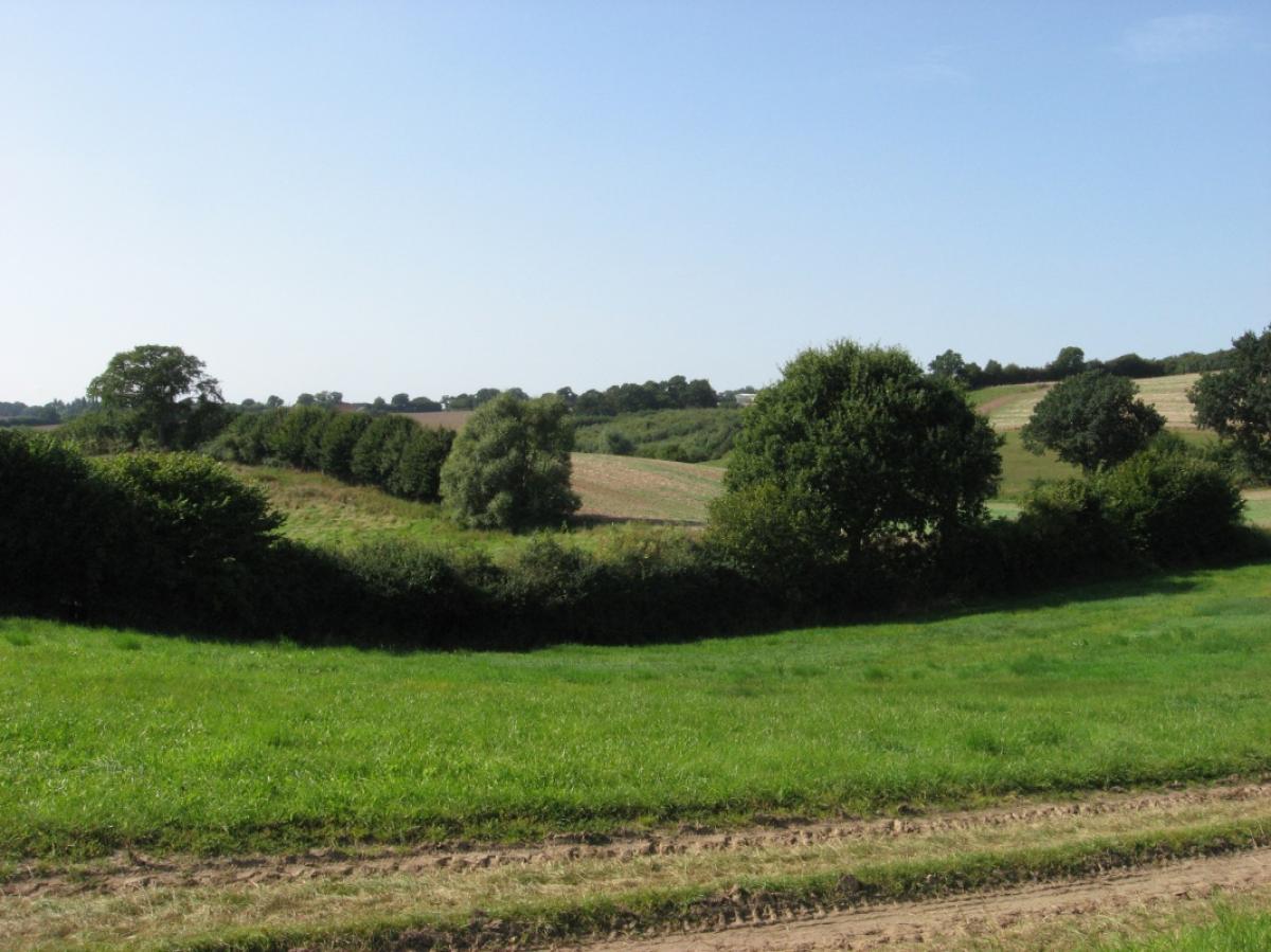
This is a really pretty stage, taking in some of Schleswig-Hostein's lakes and the Schwentine River. The undulating landscape between Preez and Plön was formed by terminal moraines during the last ice age.
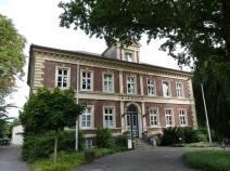
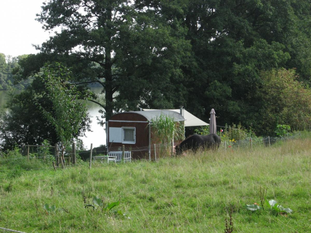
The town of Preetz with its imposing Stadtkirche – the town church – is well worth the visit. The path heads south through a park to the neighbouring town of Schellhorn before then turning right on the K53 road. It follows the bike path on this road. Having passed through the town, the E1 follows a dirt trail on the right (the path marking from Schellhorn is missing here), taking you to a large fishing pond where the path continues parallel to the road on your left. The path rejoins the road again for a short while before you again follow a footpath on the right heading towards a campsite and riding stables. The path leads across a small meadow, through a gate across a muddy paddock to the stables. Stay left past the riding centre through another gate and across a field into the woods. Coming out of the woods from the south, path marking is missing: the trail actually goes across the field and not on along the edge of the woods.
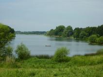
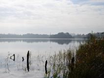
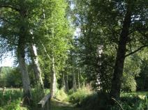
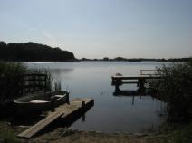
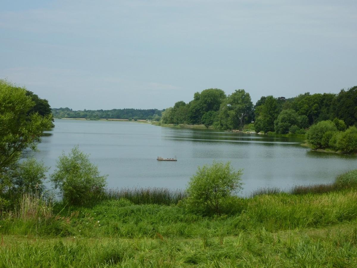
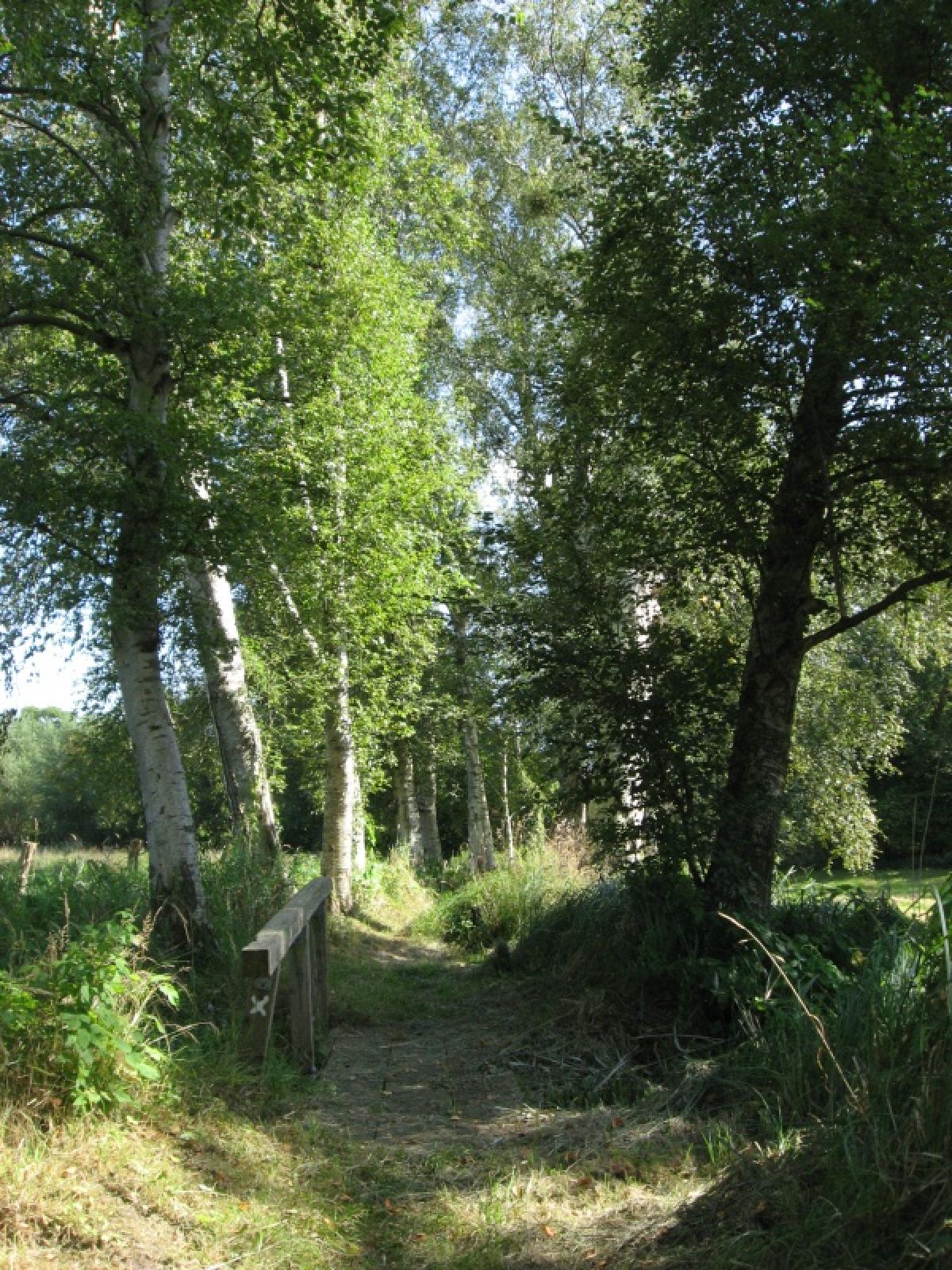
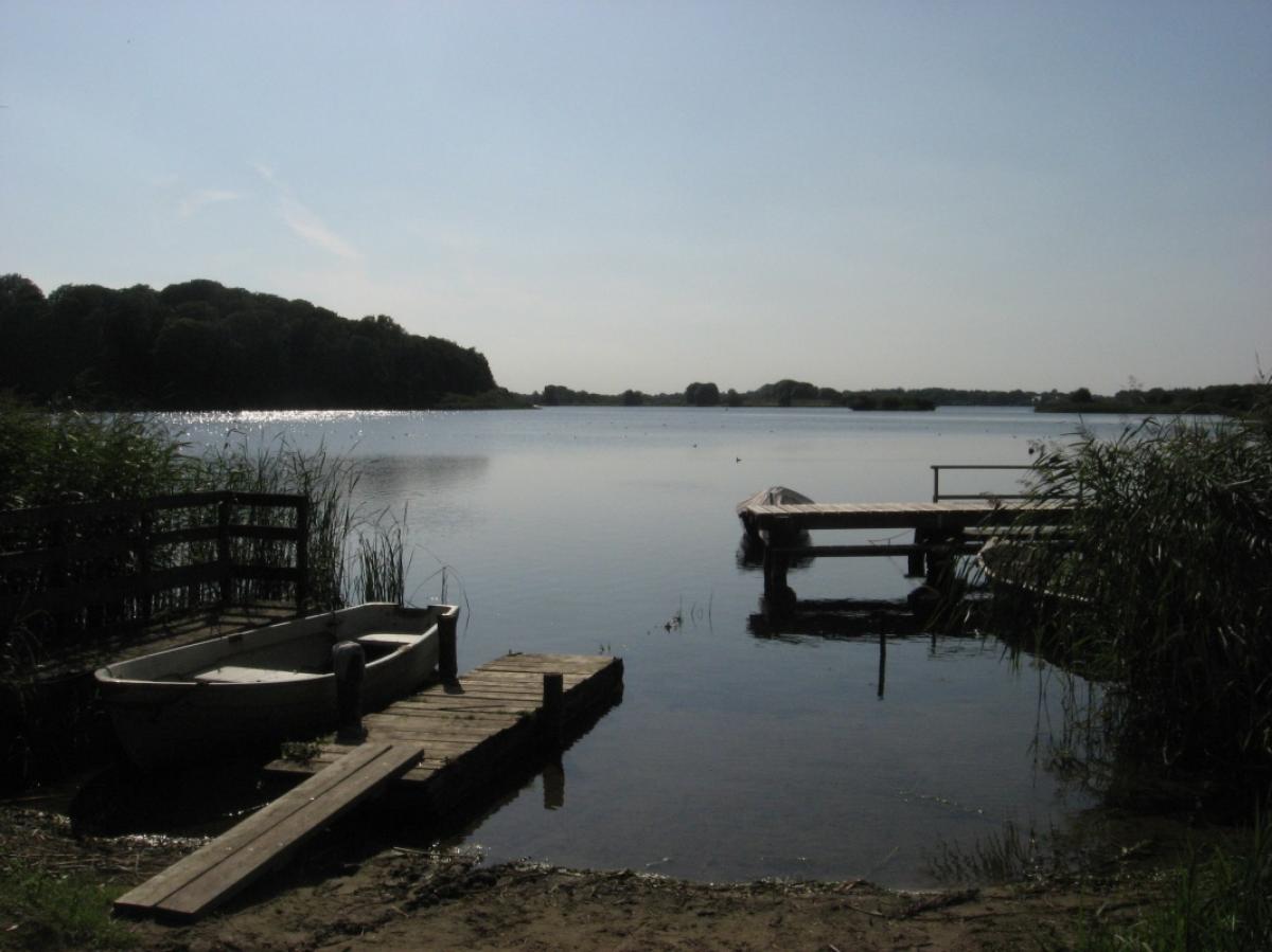
At the end of the path through the woods, follow a paved path to the right until you get to Altenhöfen. From here, the E1 heads south again – when it's wet, this can be quite muddy. The E1 follows the bank of the lovely Wielener See (the path here is well-marked but you might have to be careful because there are some abrupt, unexpected changes of direction). Coming out of the woods, the path turns left on an asphalt road (Lindenallee). Here, you will see a signpost inviting you to take some refreshments on a lakeside terrace on Fuhlensee.
Alternatively, another good option is the ‘Schusteracht’ hiking trail on the western shore of the Lanker See, which is very well signposted. The trail leads through the market square in Preetz, on to the Kirchsee and then most of the time along the shore of the Lanker See through a nature reserve with small peninsulas and bays. At one point you have to cross the railway over a bridge. The path also leads through wooded areas and passes the Kühren watermill on the southern shore of the lake to Gut Wahlstorf, before returning to the E1 south of Wielen, which from here to Plön is quite poorly marked in places.
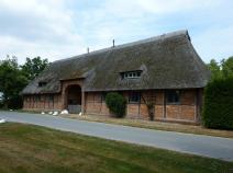
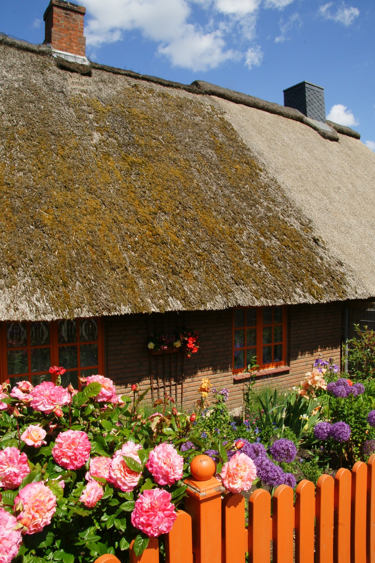
Turning left, the E1 goes on until you come to a T-junction just before Wielen. Turn right at the junction, following the asphalt road for a little while more. The cosy hamlet Güsdorf and especially the village of Wittmoldt on the Schwentine with their old houses compensate a little for the asphalt.
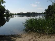
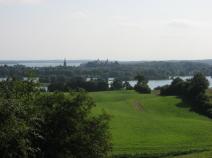
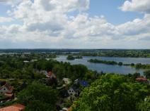
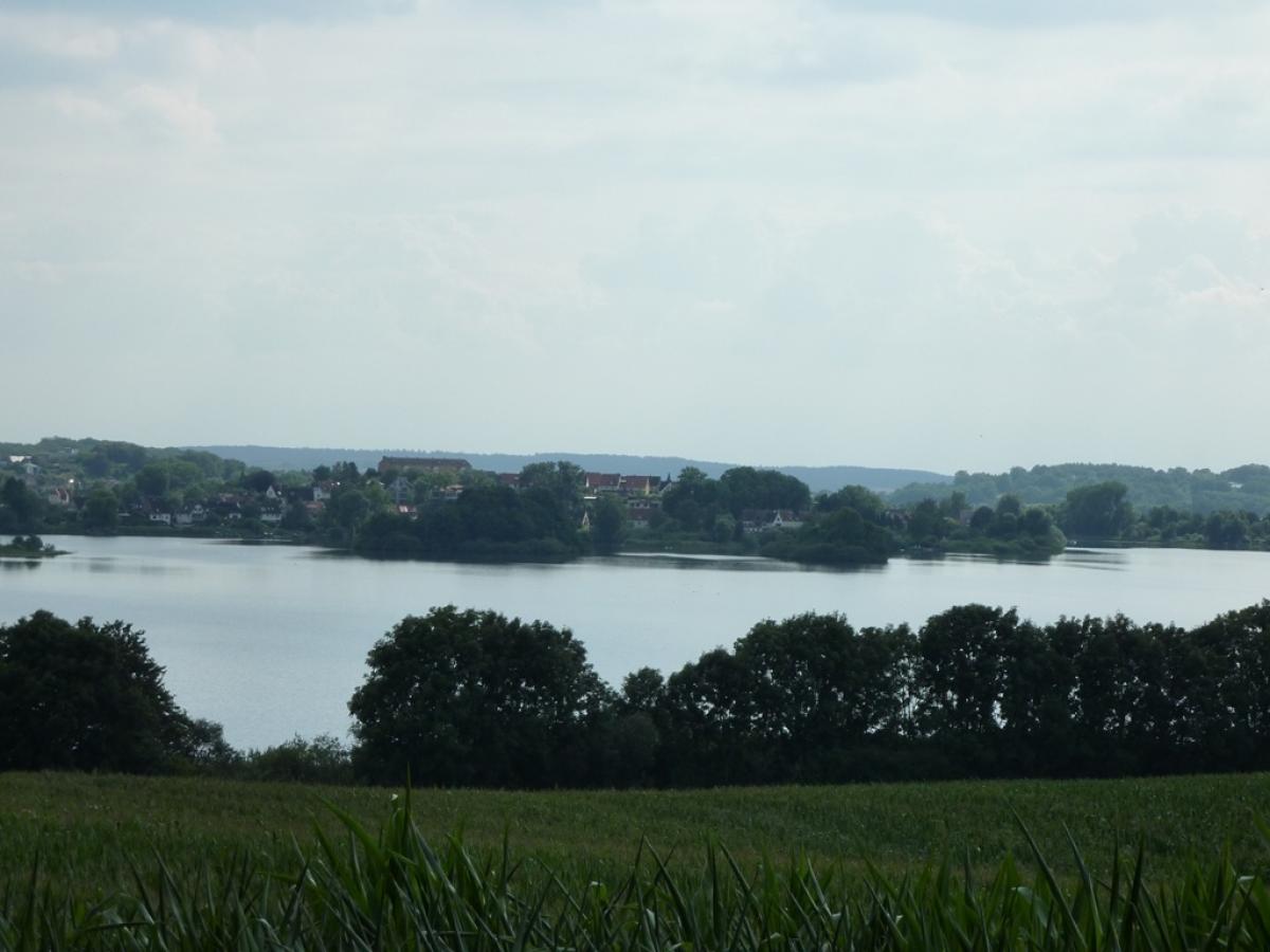
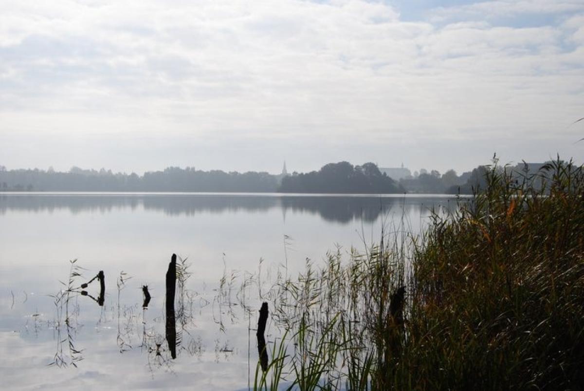
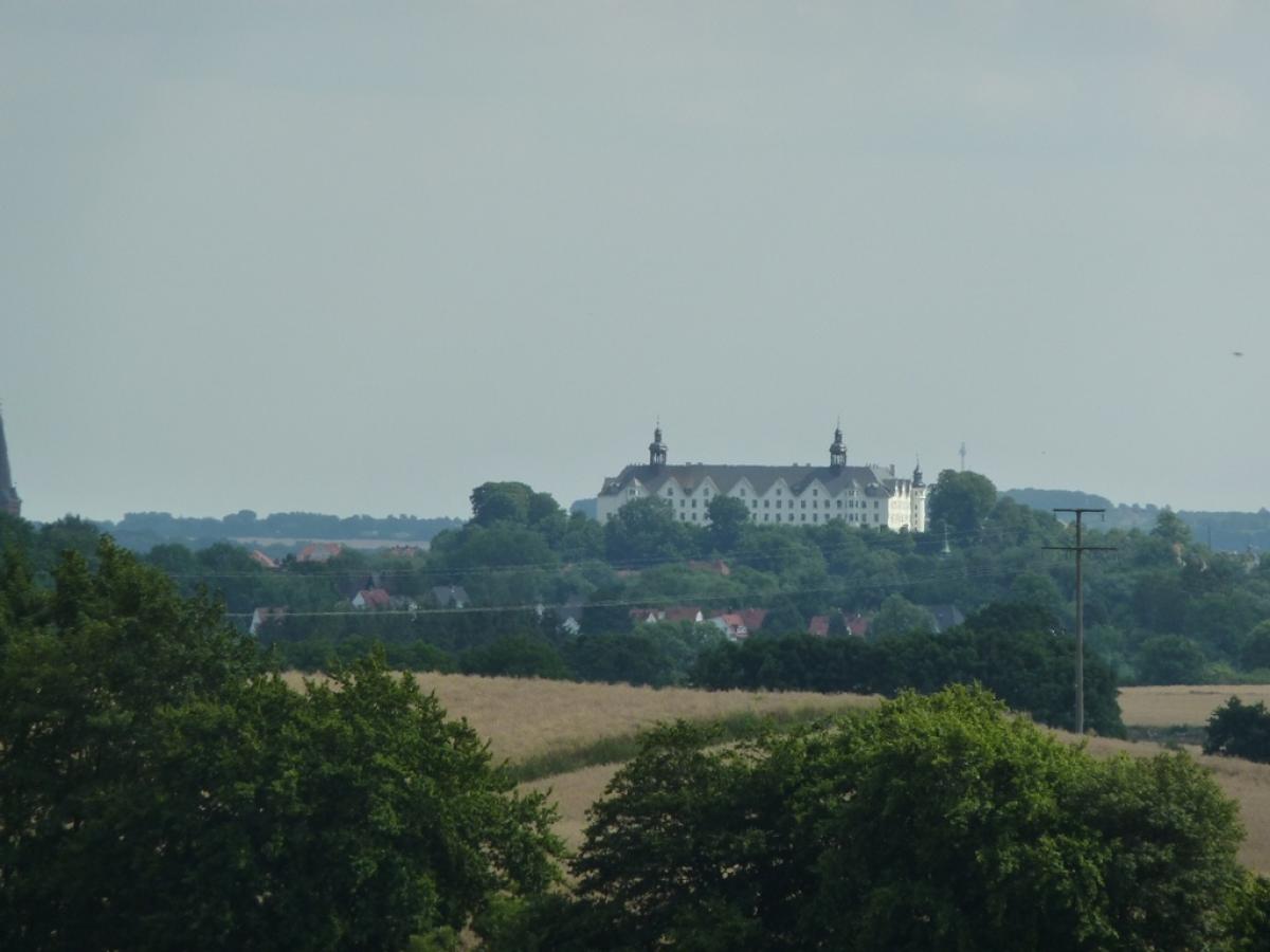
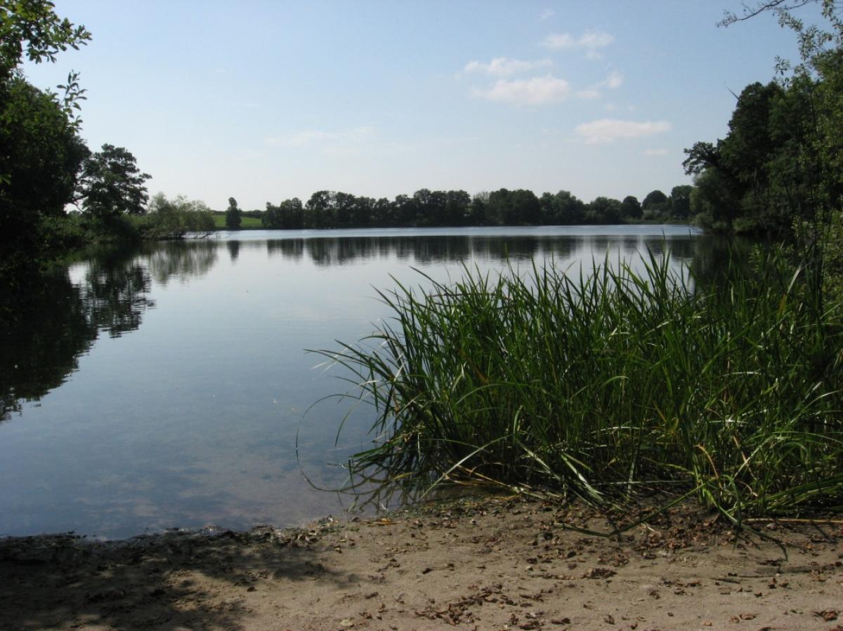
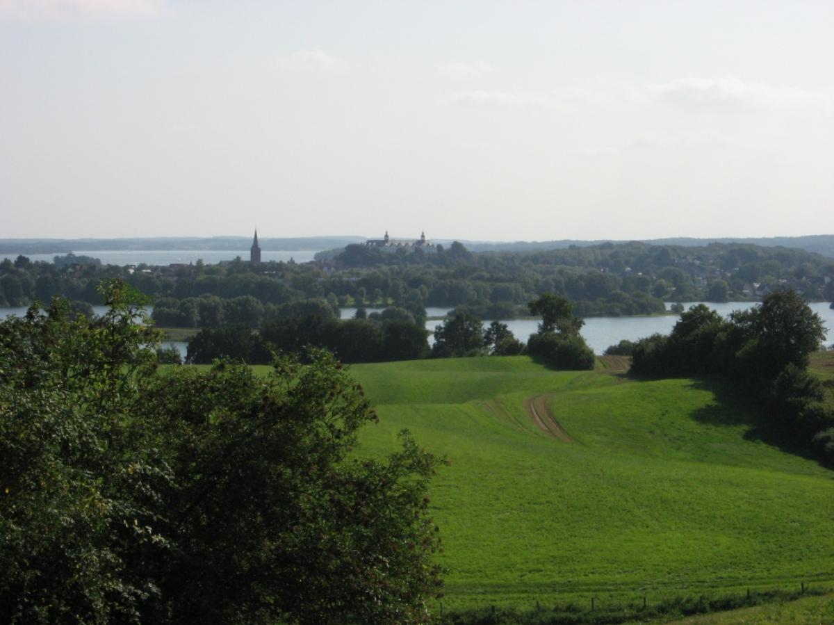
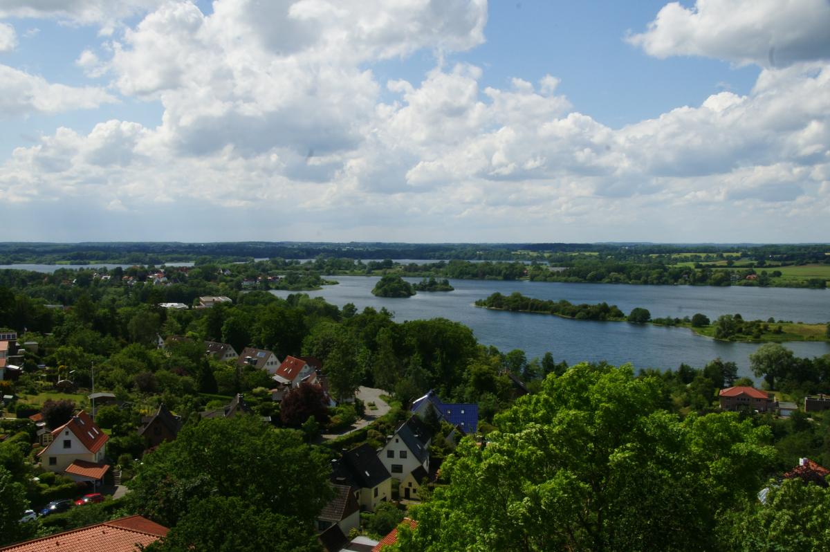
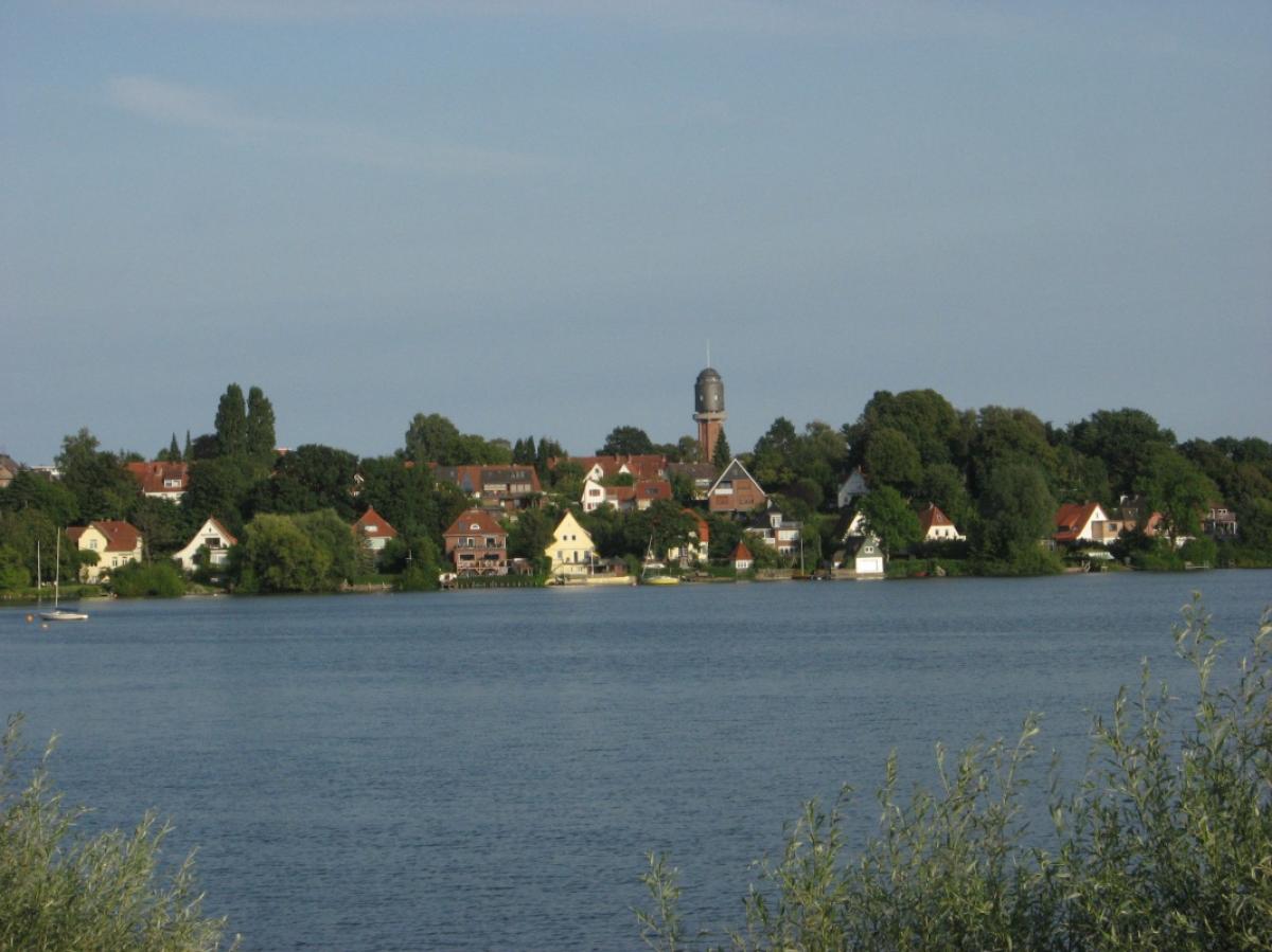
Just after passing through Wittmold, the path takes a right turn following a pretty but very boggy grassed way along the Schwentine (with a number of places to take a break or go for a swim) until you reach Gut Wittmoldt (the Wittmoldt manor house). Take a left turn here and then follow the path to the right later on, following an asphalt road until you reach the B76. After crossing this busy road, you are probably on the prettiest part of the stage with views on to the town of Plön and the surrounding lakes.
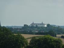
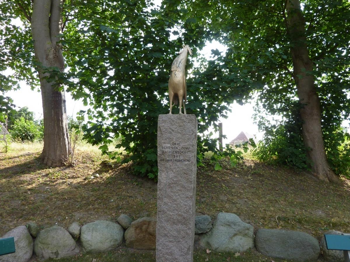
Follow the path uphill and then in the next village turn right on to a paved path until you get to Trammer See. This might just be a nice place to go for a swim. The E1 passes the bathing area along the lake before then turning left and going uphill along grass path, easy-going under foot, with many tasty views until you reach Rathjensdorf. The path then leads past the Parnassturm (open, and free of charge, from mid-March through to the end of October, closed in winter) towards Plön. The stage ends at the wonderfully-situated train station in Plön. Where else do you have a platform with a sea view?
If you fancy an ice cream, you have to visit Cini's ice cream parlour in the pedestrian zone right by the church!
The following users contributed to this text:
Hiking maps
No maps added yet
Marking
-
 St. Andrew's cross / E1
Accommodation
| Accommodation | Price group | |||
|---|---|---|---|---|
| 5-15 € | 16-30 € | 31-45 € | >45 € | |
|
Bed & Breakfast Preetz
Preetz
Price group: >45 €
|
|
|||
|
Hotel Landhaus Schellhorn
Schellhorn / Preetz
Price group: >45 €
|
|
|||
|
Naturcamping Kirchsee
Preetz
Price group: 5-15 €
|
|
|||
|
Camp Lanker See
Wahlstorf
Price group: 5-15 €
|
|
|||
|
DJH Jugendherberge Plön
Plön
Price group: 15-30 €
|
|
|||
|
Naturcamping Spitzenort
Plön
Price group: 5-15 €
|
|
|||
|
Camping Park Gut Ruhleben
Plön/Bösdorf
Price group: 5-15 €
|
|
|||
|
Show more accommodation in Schellhorn
and Plön
(booking.com / Ad)
|
||||
Literature

Sources and copyright
GPX track coordinates: © OpenStreetMap contributors. Published under Open Database License (ODbL)GPX-Downloads
You can use the GPX track for navigation and tour planning on your digital device (GPS, smartphone, online tour planner).
| Etappe Stage 1.08 Preetz - Plön | Download (.gpx) |
| All tracks in Germany | Download (.zip) |
The download and many of the services offered on this page are free of charge. However, I would greatly appreciate a small donation as a token of appreciation for my work! This can be done through Paypal or a supporting membership. Thank you very much!