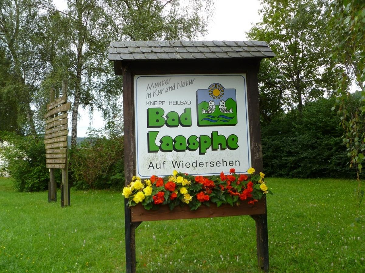
6.5 Bad Berleburg - Bad Laasphe
21.9km
Distance
-
Walking time
641m
Total climb
707m
Total descent
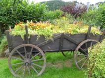
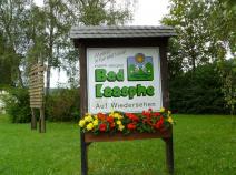
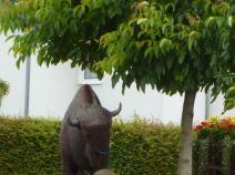
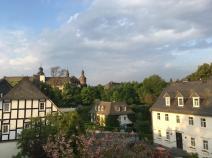
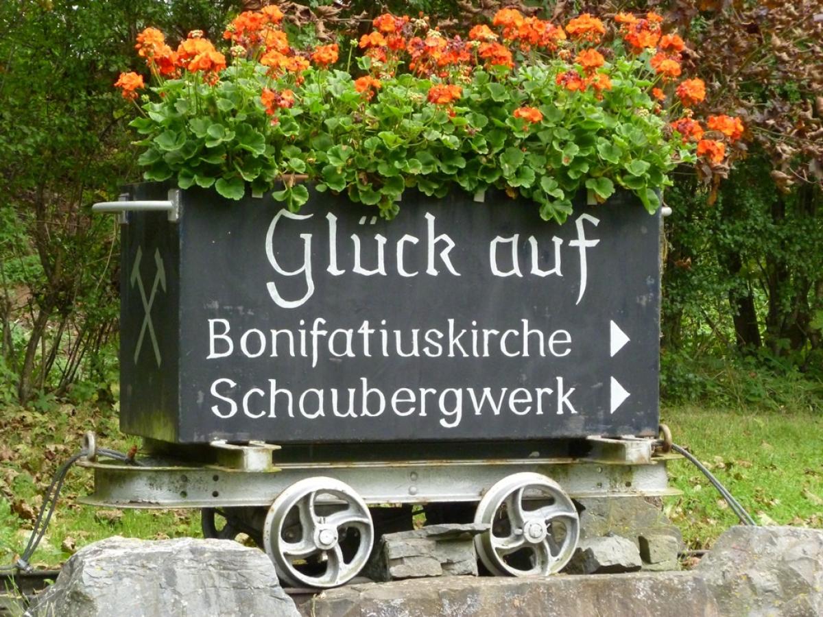
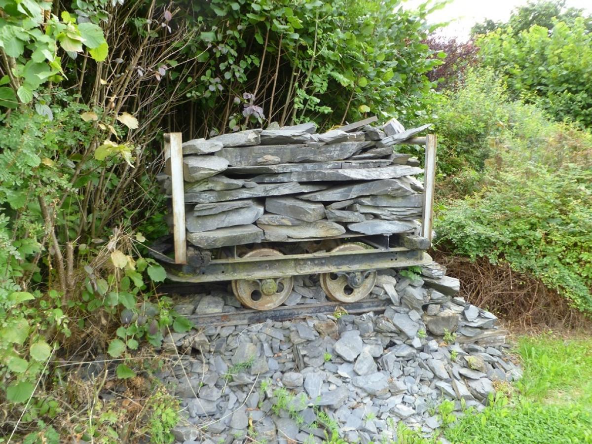
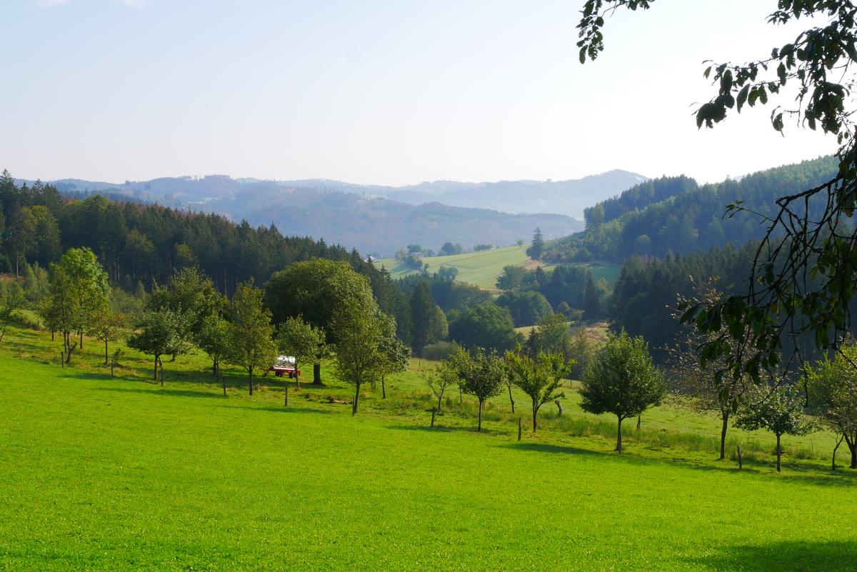
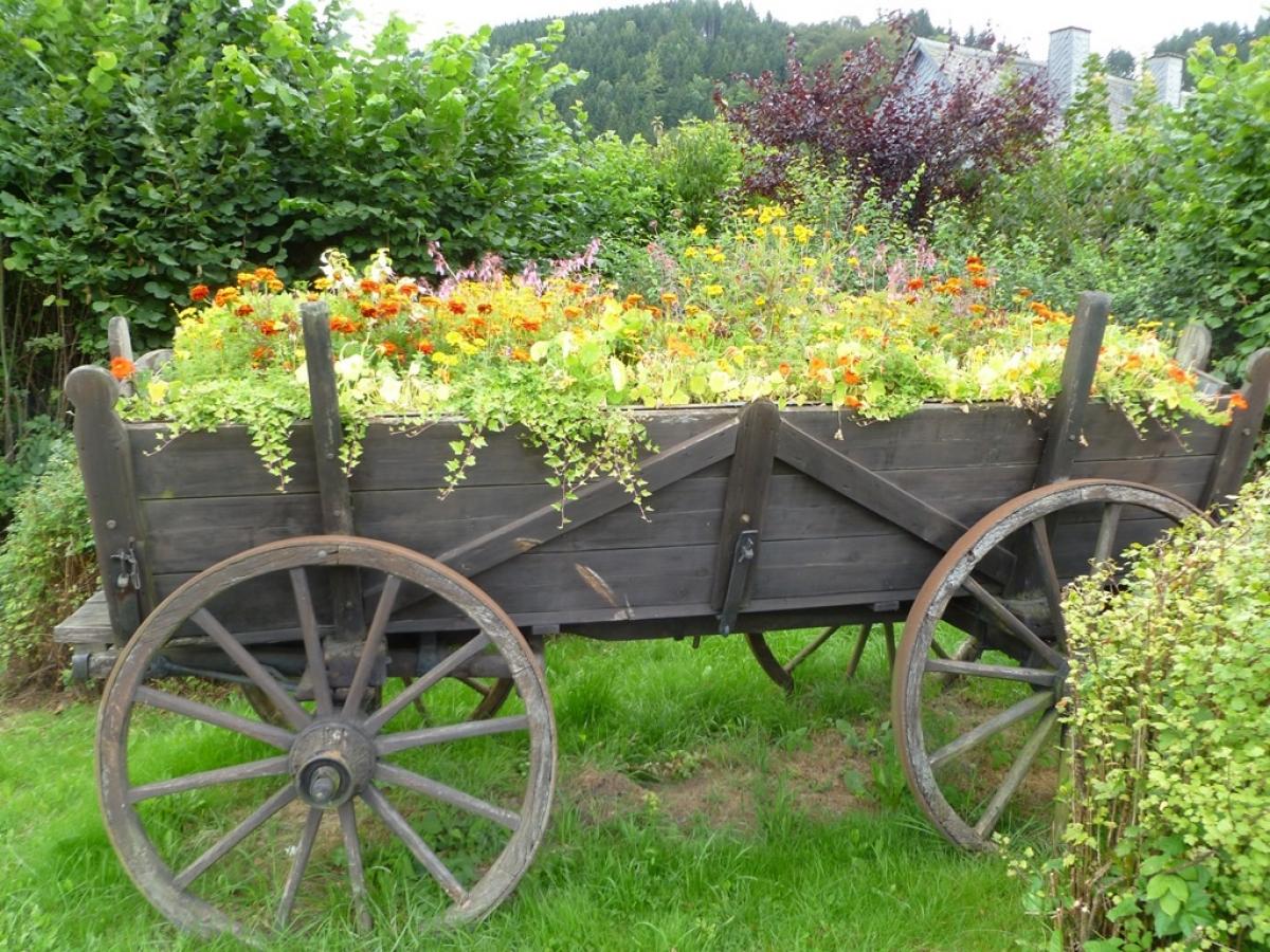
Photos
Stage description
N.B.: We don't have an English description of the stage just yet. We'll give you the German version for now until the English version is ready.
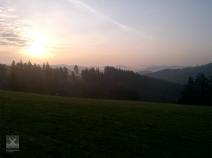
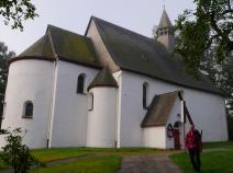
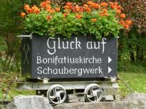
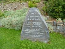
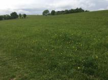
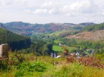
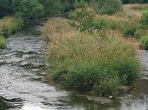
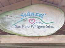
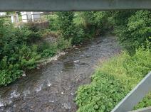
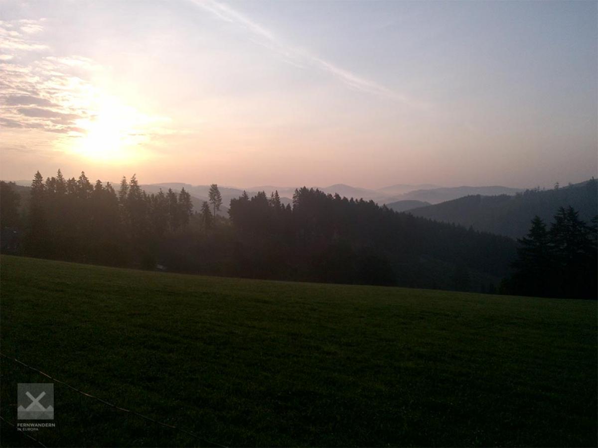
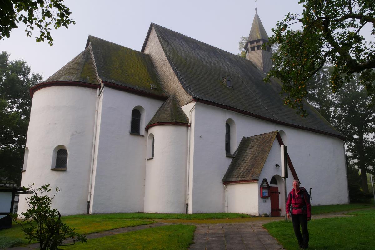
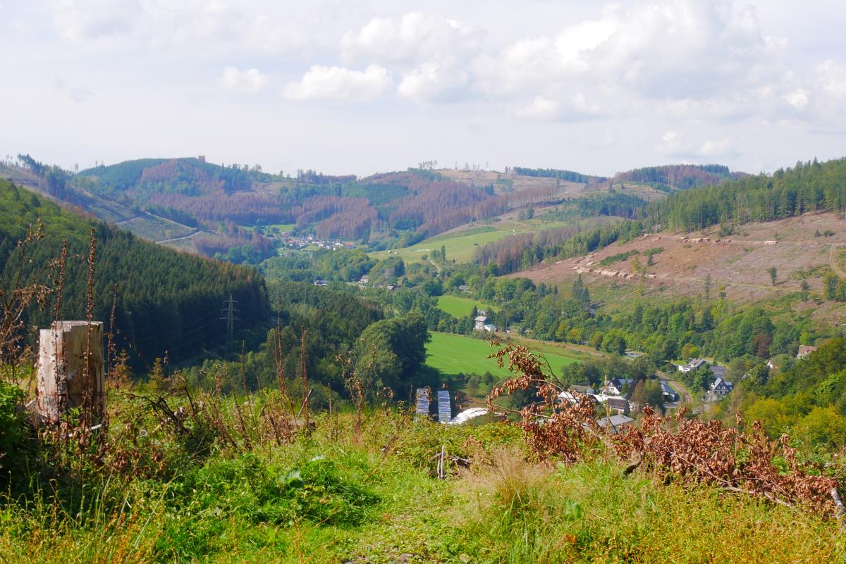
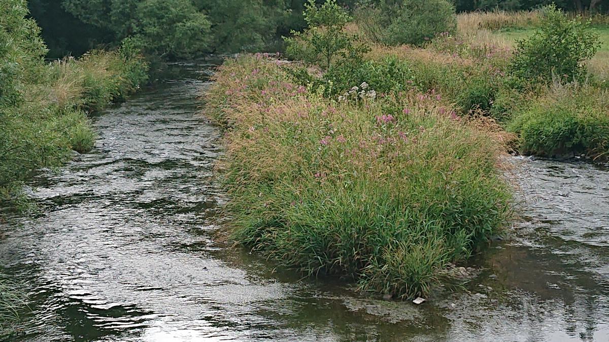
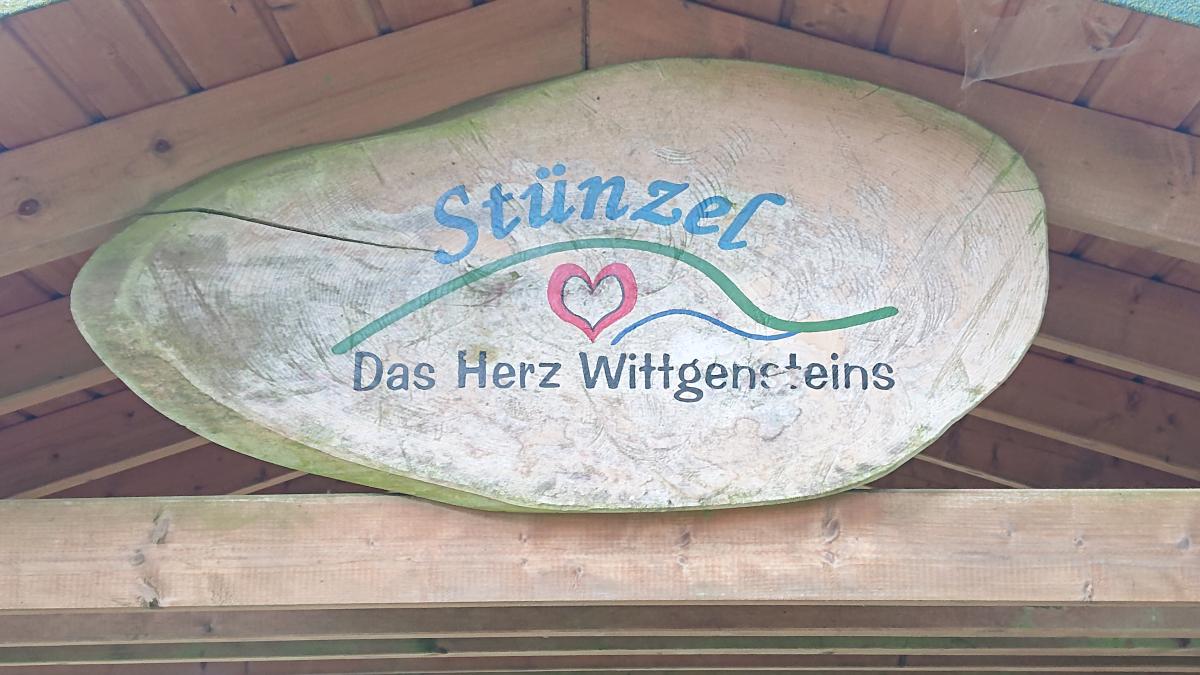
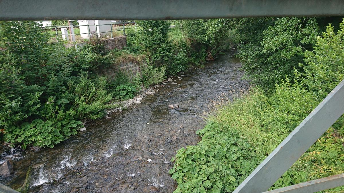
Zunächst ist der E 1 um Bad Berleburg herum trassiert. Die Eder wird gequert und man durchschreitet Raumland. Dann geht es bald wieder bergauf in den Wald, zum Teil auf undeutlichen Wegen. Im mittleren Teil der Etappe wechseln sich Waldstücke und aussichtsreiche Strecken durch Wiesen und Felder ab. Nach der Ortslage Stünzel geht es dann lange Strecken auf Forstwegen südwärts durch den Wald. Schließlich erreicht man die Anlagen des Internats Schloss Wittgenstein. Am Schloss vorbei geht es steil hinab auf einem Fußweg nach Bad Laasphe.
The following users contributed to this text:
Hiking maps
No maps added yet
Marking
-
 SGV Hauptwanderweg 2
Accommodation
| Accommodation | Price group | |||
|---|---|---|---|---|
| 5-15 € | 16-30 € | 31-45 € | >45 € | |
|
Landhaus Wittgenstein
Bad Berleburg
Price group: 30-45 €
|
|
|||
|
Hotel Berleburger Hof
Bad Berleburg
Price group: €
|
||||
|
Campingplatz Laasphetal
Bad Laasphe
Price group: 5-15 €
|
|
|||
|
Hotel Berghaus Sieben
Bad Laasphe
Price group: €
|
||||
|
Gästehaus Heinrich
Bad Laasphe
Price group: 30-45 €
|
|
|||
|
Show more accommodation in Bad Berleburg
and Bad Laasphe
(booking.com / Ad)
|
||||
Sources and copyright
GPX track coordinates: © OpenStreetMap contributors. Published under Open Database License (ODbL)GPX-Downloads
You can use the GPX track for navigation and tour planning on your digital device (GPS, smartphone, online tour planner).
| Etappe Stage 6.5 Bad Berleburg - Bad Laasphe | Download (.gpx) |
| All tracks in Germany | Download (.zip) |
The download and many of the services offered on this page are free of charge. However, I would greatly appreciate a small donation as a token of appreciation for my work! This can be done through Paypal or a supporting membership. Thank you very much!