1.02 Rugard - Krakær
18.5km
Distance
-
Walking time
233m
Total climb
217m
Total descent
Photos
Stage description
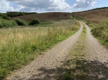
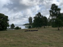
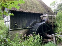
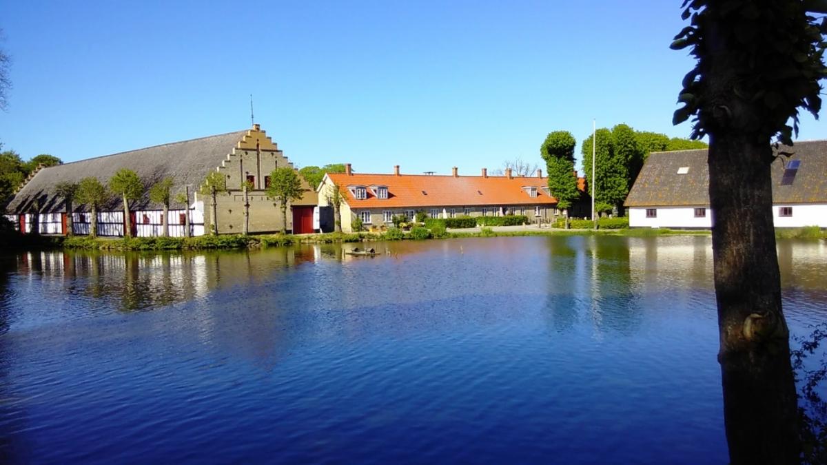
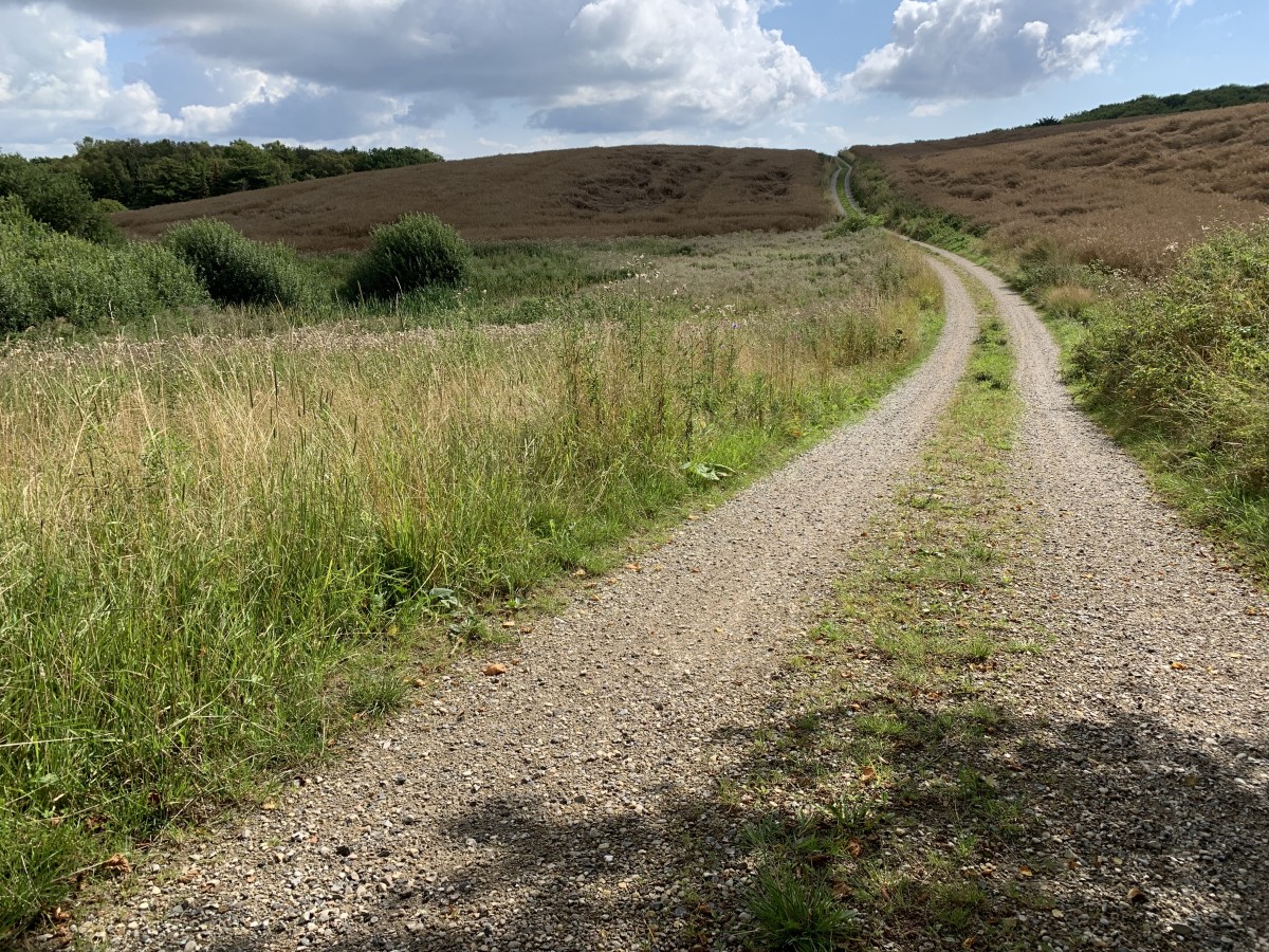
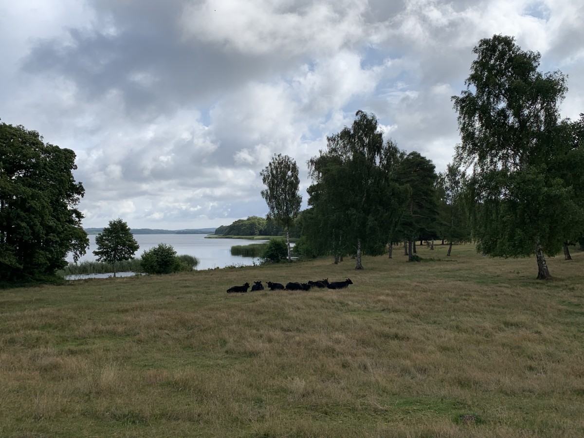
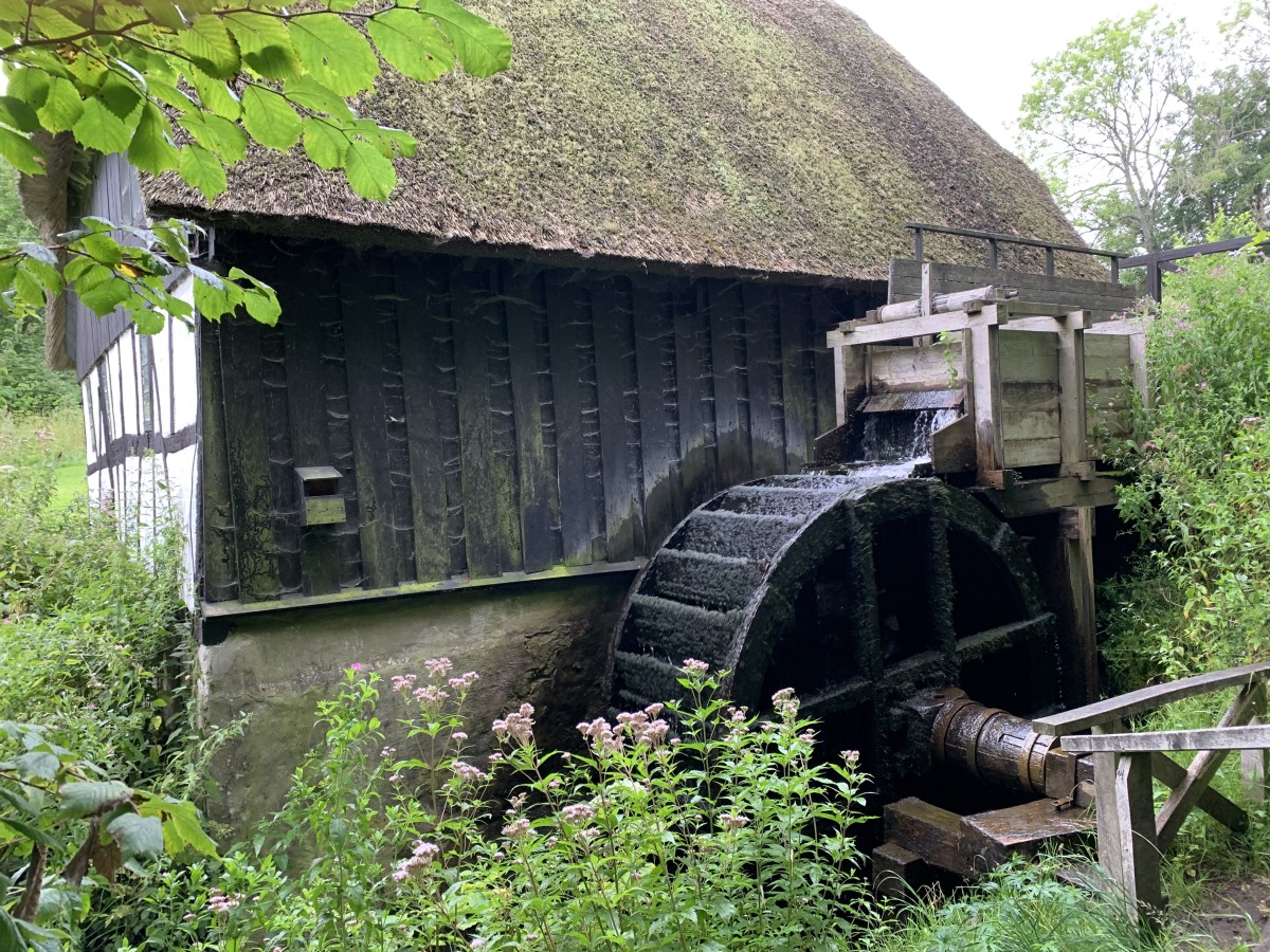
Directly at Rugård campsite, the E1 turns towards the countryside. First you walk through some forest, then you turn left onto a road. You get to Ebeltoft Safari via many nice country roads with little traffic. In Kælderskov you turn right and get close to Stubbe Sø. Once you have crossed the slightly larger road, there are signs for camping in the forest, but everything is completely overgrown. At Ørnbjerg Mølle there is a semi-open, nicely furnished shelter with benches. In an emergency, you can certainly spend the night there. Krakær campsite is about 40 minutes away from there.
The following users contributed to this text:
Hiking maps
No maps added yet
Marking
-
 Hiking trail (Denmark)
Accommodation
| Accommodation | Price group | |||
|---|---|---|---|---|
| 0-150 DKK |
151-300 DKK |
301-450 DKK |
>450 DKK |
|
|
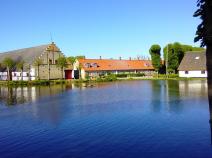
Rugård Camping Djursland
Ebeltoft
Price group:
|
||||
|
Shelterplads Stubbe Sø
Ebeltoft
Price group:
|
||||
|
Ørnbjerg Mølle
Krakær
Price group:
|
||||
|
Krakær Camping
Ebeltoft
Price group: DKK 0-150
|
|
|||
Links
www.syddjurs.dk
Flyer about the "Molsruten" and hints for accommodation (PDF / dansk)
Sources and copyright
GPX track coordinates: © OpenStreetMap contributors. Published under Open Database License (ODbL)GPX-Downloads
You can use the GPX track for navigation and tour planning on your digital device (GPS, smartphone, online tour planner).
| Etappe Stage 1.02 Rugard - Krakær | Download (.gpx) |
| All tracks in Denmark | Download (.zip) |
The download and many of the services offered on this page are free of charge. However, I would greatly appreciate a small donation as a token of appreciation for my work! This can be done through Paypal or a supporting membership. Thank you very much!